54 Rampart Road, Southampton, SO18 1AG
About 54 Rampart Road
54 Rampart Road is a detached house in Southampton (SO18 1AG). It has a recorded floor area of 122 m² (around 1313 sq ft), construction records dating it to 1950-1966 and council tax band C. The latest certificate (August 2022) shows a D (score 66), on the cusp of jumping into the C band. When first surveyed in July 2022 the rating was E, the property has climbed 1 band since. The recommended improvements would lift it to B (score 81), a 2-band jump.
It hasn't traded since November 2003, a hold of 23 years that's notably long for the area. At 122 m² the property is well over the postcode median (84 m² across 3 EPCs), placing it in the larger end of the local stock. Across 1997–2003, sale prices on this property compounded at 15.2% per year. Today's modelled estimate of £374,000 sits 151% above the 2003 sale of £149,000. On a £-per-square-foot basis, the last sale (£113/sq ft) was about 51.6% below the postcode norm. 2 planning records sit against the property, 2 approved, 0 refused. Past consents include an extension, meaningful when judging how the property has evolved.
Everything you need to know about 54 Rampart Road
The true value, the hidden risks and the full sale history, in one report.
30-day money-back guarantee

The data behind every report


Energy performance
Recommended upgrades on file would lift this property by multiple EPC bands.
EPC Rating
Property Improvements
Changes detected from historical EPC data
Solar PV panels (40 kWp) installed
Planning history
54 Rampart Road has an approved single-storey rear extension on the planning record.
- Oct 2020OutbuildingFullIn report
Erection of detached outbuilding within rear garden to provide garden/games room (Retrospective).
Retrospective- Documents
- 7 docs on file
- Reference
- 20/01188/FUL
- Dec 2017ExtensionFullIn report
Extension: Single storey · Rear of property
Erection of a first floor rear extension
- Documents
- 5 docs on file
- Reference
- 17/01212/FUL
We flagged 1 thing worth checking at 54 Rampart Road
Independent checks surfaced things a buyer would want to understand before offering. The report explains each one in full, with the underlying data and what to ask.
- Signs of HMO activity in the area
30-day money-back guarantee
Sales history & valuation
Sale price has at least doubled since 1997.
£374,000
Modelled from EPC, postcode comparables and a sale-price growth of 15.2% per year over 7 years.
£149,000
Growth on file: 15.2% per year over 7 years.
Sales timeline
28 November 2003Most recent
£149,000
+154.7%over 6 years24 April 1997
£58,500
Median price across the last 5 sales in SO18 1AG: £227,000 (2025–2002).
Nearby sales in SO18 1AG
Versus other Rampart Road homes
On price per m², 54 Rampart Road runs well behind the street norm.
Price per m²
£1,221
Street avg £3,013
Floor Area
122 m²
Street avg 85 m²
Habitable Rooms
6 rooms
Street avg 5 rooms
CO₂ Emissions
4.7 t/year
Street avg 3.3 t/year
Everything you need to know about 54 Rampart Road
The true value, the hidden risks and the full sale history, in one report.
30-day money-back guarantee
The data behind every report
Similar properties nearby
The neighbourhood at a glance
Rail-style transport is unusually close for this postcode.
Crime
6/mo
Rising year-on-year across the wider district.
Nearest stop
0.1 km
Rampart Road — bus stop.
Closest school
0.1 km
Bitterne Manor Primary School. 37 schools nearby.
Go deeper on the local area
The full report breaks down crime, transport links, schools and air quality in depth.
Road noise across the postcode
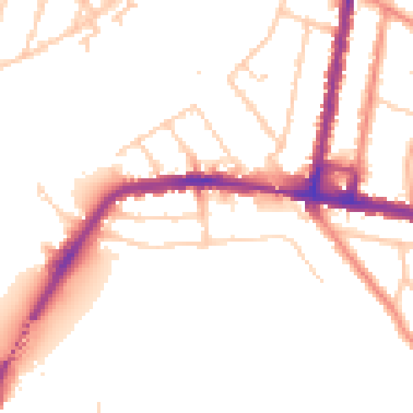
Daytime· 07:00 – 23:00
50.8dB

Night-time· 23:00 – 07:00
42.5dB