52 Rampart Road, Southampton, SO18 1AG
About 52 Rampart Road
52 Rampart Road is a three-bedroom detached house in Southampton (SO18 1AG). It has a recorded floor area of 84 m² (around 904 sq ft), construction records dating it to 1930-1949 and council tax band C. The latest certificate (May 2019) shows a D (score 59), a step below the typical UK home. When first surveyed in January 2009 the rating was E, the property has climbed 1 band since. Between certificates, roof efficiency went from Poor to Average, window efficiency went from Poor to Average and hot-water efficiency went from Average to Good. The recommended improvements would lift it to B (score 82), a 2-band jump.
Across 2002–2019, sale prices on this property compounded at 4% per year. Today's modelled estimate of £338,000 is 35.2% above the 2019 sale price. On a £-per-square-foot basis, the last sale (£276/sq ft) was about 30.3% above the typical sold price in the postcode. Most recent transfer: May 2019 at £250,000.
What this property has
Inside
- Bedrooms3
- Bathrooms1
- Dining roomYes
- CloakroomYes
Outside
- Private gardenRear
- ParkingOff road
Building
- RefurbishedYes
Everything you need to know about 52 Rampart Road
The true value, the hidden risks and the full sale history, in one report.
30-day money-back guarantee

The data behind every report


Energy performance
Recommended upgrades on file would lift this property by multiple EPC bands.
EPC Rating
Property Improvements
Changes detected from historical EPC data
Heating controls upgraded for better temperature management
Hot water efficiency improved
Windows upgraded, improving insulation
Roof insulation improved
More low energy lighting installed
Planning history
52 Rampart Road has no planning applications on record.
Notable planning nearby
5applications of note in the surrounding area
We flagged 1 thing worth checking at 52 Rampart Road
Independent checks surfaced things a buyer would want to understand before offering. The report explains each one in full, with the underlying data and what to ask.
- Signs of HMO activity in the area
30-day money-back guarantee
Sales history & valuation
52 Rampart Road valuation sits well clear of the typical sold price in this postcode.
£338,000
Modelled from EPC, postcode comparables and a sale-price growth of 4.0% per year over 17 years.
£250,000
Growth on file: 4.0% per year over 17 years.
Sales timeline
29 May 2019Most recent
£250,000
+92.3%over 16 years8 August 2002
£130,000
Median price across the last 5 sales in SO18 1AG: £185,000 (2025–2001).
Nearby sales in SO18 1AG
Versus other Rampart Road homes
52 Rampart Road is notably below the street on epc rating.
Price per m²
£2,976
Street avg £2,428
Floor Area
84 m²
Street avg 98 m²
Habitable Rooms
5 rooms
Street avg 6 rooms
CO₂ Emissions
4.0 t/year
Street avg 3.5 t/year
Everything you need to know about 52 Rampart Road
The true value, the hidden risks and the full sale history, in one report.
30-day money-back guarantee
The data behind every report
Similar properties nearby
1 Sandringham Road
SO18 1JL
1 Lacon Close
SO18 1JA
1 Englefield Road
SO18 1AW
1 Dimond Hill
SO18 1JF
1 Cobden Rise, St Catherines Road
SO18 1DL
1 Cobden Gardens
SO18 1LN
1 Hillside Avenue
SO18 1LD
1 River View Road
SO18 1NW
The neighbourhood at a glance
Rail-style transport is unusually close for this postcode.
Crime
6/mo
Rising year-on-year across the wider district.
Nearest stop
0.1 km
Rampart Road — bus stop.
Closest school
0.1 km
Bitterne Manor Primary School. 37 schools nearby.
Go deeper on the local area
The full report breaks down crime, transport links, schools and air quality in depth.
Road noise across the postcode
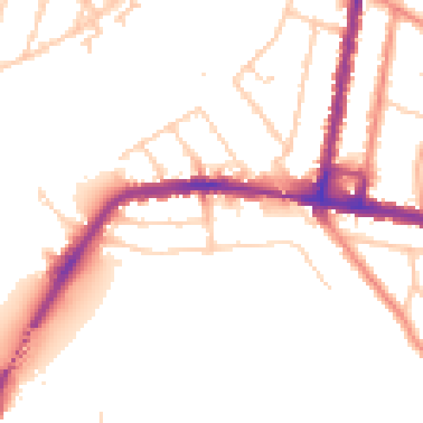
Daytime· 07:00 – 23:00
50.8dB

Night-time· 23:00 – 07:00
42.5dB