Yewtree Farm, Yewtree Lane, Nursling, Southampton, SO16 0XU
About Yewtree Farm
Yewtree Farm is a detached house in Nursling, Southampton, Southampton (SO16 0XU). It has a recorded floor area of 237 m² (around 2551 sq ft), construction records dating it to before 1900 and council tax band F. The latest certificate (November 2016) shows a G (score 8), near the bottom of the EPC scale. The recommended improvements would lift it to E (score 40), a 2-band jump. Main heating runs on bottled lpg.
Today's modelled estimate of £676,000 sits 50.2% above the 2017 sale of £450,000. 10 planning records sit against the property, 0 approved, 2 refused. The record references listed-building consent, which constrain future alterations. Last changed hands 9 years ago, in February 2017.
Everything you need to know about Yewtree Farm
The true value, the hidden risks and the full sale history, in one report.
Pick your report · from £14.99
One time fee only - money back guarantee

The data behind every report







Energy performance
Yewtree Farm's carbon output runs well above what efficient homes in the postcode produce.
EPC Rating
Certificate validity
Valid until 10 November 2026

Get a survey for this property
Level 3 Building Survey
Because the property was built before 1919, has been extended more than once, and has solid (non-cavity) walls, we believe a Level 3 building survey should be considered.
From £1,155 · Includes VAT
Planning history
Yewtree Farm has a listed-building consent on record — alterations to a listed property are tightly controlled.
10 applications on record at Yewtree Farm, Yewtree Lane, Nursling, Southampton, SO16 0XU
1 live now- Apr 2009ExtensionFullOutcome in report
Internal and external repair, restoration and alterations to farmhouse and extension to farm house to provide meeting room space for adjacent new development of Class B1 Business Units and associated works
- Documents
- 48 docs on file
- Reference
- 08/02996/FULLS
- More recent applications — locked
- ConditionsAug 2025Decision
- ConditionsFeb 2023Decision
+ 7 more applications in the report
Unlock Yewtree Farm, Yewtree Lane, Nursling, Southampton, SO16 0XU's full planning history
You're seeing the shape of it. The report has the substance.
- Every decision — granted, refused or withdrawn (9 on record)
- All 10 applications on this property in full, plus 1 notable nearby
- The 566 documents, officer reports & conditions
- What the pattern means for extending or converting here
One time fee only - money back guarantee
Sales history & valuation
£676,000
Modelled from EPC, postcode comparables.
£450,000
Recorded with HM Land Registry.
Sales timeline
20 February 2017Most recent
£450,000
Everything you need to know about Yewtree Farm
The true value, the hidden risks and the full sale history, in one report.
Pick your report · from £14.99
One time fee only - money back guarantee
The data behind every report
Similar properties nearby
1 Cranmer Drive, Nursling
SO16 0TD
1 Northcliffe House, Grove Place, Upton Lane, Nursling
SO16 0AP
1 Bodding Avenue, Nursling
SO16 0BJ
1 Chambers Close, Nursling
SO16 0TA
1 Blake Close, Nursling
SO16 0TL
1 Dairy Cottages, Mill Lane, Nursling
SO16 0YE
1 Broadmead Road, Nursling
SO16 0XD
1 Crawford Close, Nursling
SO16 0XF
The neighbourhood at a glance
Crime
536/mo
Steady year-on-year across the wider district.
Nearest stop
0.1 km
Adanac Park — bus stop.
Closest school
0.5 km
Holy Family Catholic Primary School - Part of the Learning Federation Partnership of Schools. 22 schools nearby.
Go deeper on the local area
A Local Area report breaks down crime, transport links, schools and air quality in depth.
Road noise across the postcode
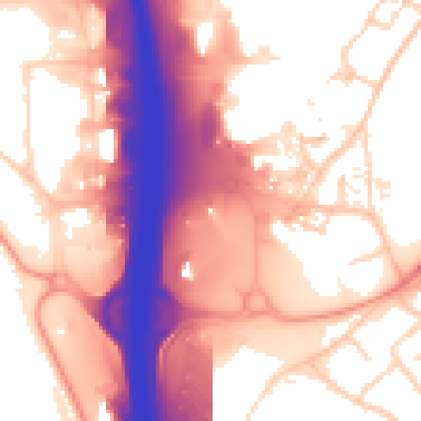
Daytime· 07:00 – 23:00
58.8dB
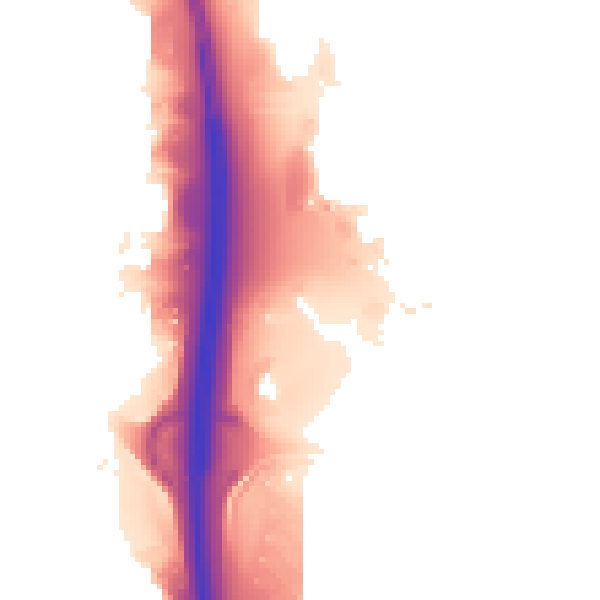
Night-time· 23:00 – 07:00
52.0dB