Are you a property professional?Get qualified leads from motivated homeowners.
Get started34 The Green, Marlborough, SN8 1AW
About 34 The Green
A plain-English summary derived from public records, EPC certificates, sold prices and local data.
34 The Green is a two-bedroom end-of-terrace house in Marlborough (SN8 1AW). It has a recorded floor area of 56 m² (around 603 sq ft), construction records dating it to before 1900 and council tax band C. The latest certificate (June 2020) shows a D (score 60), on the cusp of jumping into the C band. Earlier certificates rated it B (October 2008); the latest reading is 2 bands lower. Between certificates, wall efficiency dropped from Very Good to Very Poor and roof efficiency dropped from Good to Very Poor. The recommended improvements would lift it to B (score 89), a 2-band jump.
Sale prices here have outpaced England HPI: 3.7% per year against 0% for the wider region. Today's modelled estimate of £268,000 is 27.6% above the 2016 sale price. On a £-per-square-foot basis, the last sale (£348/sq ft) was about 59.2% above the typical sold price in the postcode. At 56 m² it sits well below the postcode median (102 m² across 11 EPCs), making it one of the more compact homes locally. Last sold in March 2016, so it's been off the market for around 10 years.
What this property has
Pulled from EPC certificates, claim submissions and our property model. Empty categories are hidden — we only show what's known.
Inside
- Bedrooms2
- Bathrooms1
- Open-plan layoutYes
Building
- Refurbished
Energy performance
Every EPC certificate filed against this property — current rating, recorded improvements, and where there's headroom to reach a higher band.
Recommended upgrades on file would lift this property by multiple EPC bands.
Current Certificate(1 of 2)
Jun 2020
EPC Rating
A
B
C
D
D60
E
F
G
Main Heating
Gas
Main Fuel
Gas
Hot Water
Good
Windows
Average
CO2 Emissions
3.4 t/year
Occupancy
Owner Occupied
Sales history & valuation
Recorded transactions, our model's current estimate, and a quick read on what neighbouring properties have sold for.
Current estimate
See how we calculated this£268,000
Modelled from EPC, postcode comparables and a sale-price growth of 3.7% per year over 7 years.
Last sold (2016)
£210,000
Growth on file: 3.7% per year over 7 years.
Sales timeline
Full property reportLaunch offer · 33% off
The complete analysis of 34 The Green, Marlborough, SN8 1AW
Everything we know about this property, compiled into one in-depth, downloadable report.
Detailed AI analysis
Versus other The Green homes
Four headline reads against 8 similar houses on this street, drawn from the latest EPC and Land Registry data.
34 The Green is notably below the street on floor area.
Price per m²
£3,750
Street avg £3,076
Floor Area
56 m²
Street avg 118 m²
Habitable Rooms
3 rooms
Street avg 5 rooms
Similar properties nearby
A handful of close matches in the same postcode area, ranked by likeness on bedrooms, type and floor area.
The neighbourhood at a glance
A condensed read of the local area. Each tile links through to the full breakdown on the Marlborough district page.
Daytime road noise here sits well below conversation level — a quiet pocket of the postcode.
Crime
2/mo
Steady year-on-year across the wider district.
Nearest stop
0.1 km
Road noise across the postcode
Modelled day and night-time noise levels around SN8 1AW from Defra's strategic mapping. The pin marks this postcode's centroid.
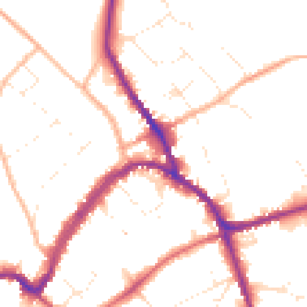
Daytime· 07:00 – 23:00
49.9dB

Everything within walking distance
Schools, transport stops and scenic spots near this property — 33 points of interest in total.
Common questions
The questions buyers, sellers and homeowners most often ask about 34 The Green, Marlborough, SN8 1AW. Each answer is also embedded as structured data for search engines.