17 Harefield Road, Maidenhead, SL6 5EA
About 17 Harefield Road
17 Harefield Road is a semi-detached house in Maidenhead (SL6 5EA). It has a recorded floor area of 80 m² (around 861 sq ft), construction records dating it to 1930-1949 and council tax band E. The latest certificate (December 2025) shows a D (score 56), a step below the typical UK home. The recommended improvements would push it to C (score 73). This certificate was lodged in the last six months, so the rating reflects current condition.
Untraded for 25 years, with the last transfer in February 2001. Only one transfer is on record with HM Land Registry, suggesting it has stayed in the same hands for a long time. Today's modelled estimate of £546,000 sits 163.1% above the 2001 sale of £207,500. One planning record on file: an extension approved in 2026. Past consents include an extension, meaningful when judging how the property has evolved. At 80 m² it's 27.3% smaller than the typical home in the postcode (110 m² median across 11 EPCs).
Everything you need to know about 17 Harefield Road
The true value, the hidden risks and the full sale history, in one report.
30-day money-back guarantee

The data behind every report


Energy performance
The EPC has just been inspected, so the rating reflects current condition.
EPC Rating
Planning history
17 Harefield Road has an approved extension on the planning record.
- Apr 2026ExtensionOutlineIn report
Certificate of lawfulness to determine whether the proposed single storey side extension is lawful.
- Documents
- 7 docs on file
- Reference
- 26/00531/CPD
What's in 17 Harefield Road, Maidenhead, SL6 5EA's planning history?
Refusals, disputes and full decisions on this property and nearby, in the report.
Sales history & valuation
17 Harefield Road valuation sits well clear of the typical sold price in this postcode.
£546,000
Modelled from EPC, postcode comparables.
£207,500
Recorded with HM Land Registry.
Sales timeline
13 February 2001Most recent
£207,500
Median price across the last 5 sales in SL6 5EA: £565,000 (2022–2014).
Nearby sales in SL6 5EA
Versus other Harefield Road homes
On years held, 17 Harefield Road stands well clear of the street.
Price per m²
£2,594
Street avg £4,246
Floor Area
80 m²
Street avg 123 m²
Habitable Rooms
5 rooms
Street avg 5 rooms
CO₂ Emissions
3.5 t/year
Street avg 6.4 t/year
Everything you need to know about 17 Harefield Road
The true value, the hidden risks and the full sale history, in one report.
30-day money-back guarantee
The data behind every report
Similar properties nearby
The neighbourhood at a glance
Crime
5/mo
Steady year-on-year across the wider district.
Nearest stop
0.1 km
Newlands Girls' School — bus stop.
Closest school
0.2 km
Newlands Girls' School. 20 schools nearby.
Go deeper on the local area
The full report breaks down crime, transport links, schools and air quality in depth.
Road noise across the postcode
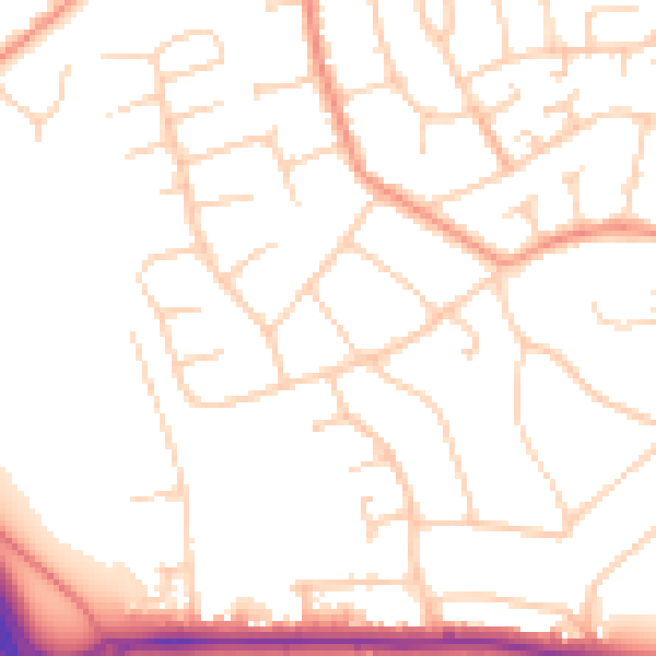
Daytime· 07:00 – 23:00
51.1dB

Night-time· 23:00 – 07:00
41.3dB