19 Birdwood Road, Maidenhead, SL6 5AP
About 19 Birdwood Road
19 Birdwood Road is a detached house in Maidenhead (SL6 5AP). It has a recorded floor area of 151 m² (around 1625 sq ft), construction records dating it to 1930-1949 and council tax band F. The latest certificate (December 2024) shows a D (score 64), on the cusp of jumping into the C band. Earlier certificates rated it C (October 2009); the latest reading is one band lower. Between certificates, roof efficiency went from Average to Good and lighting went from Poor to Very Good; while wall efficiency dropped from Good to Average and hot-water efficiency dropped from Very Good to Good. The recommended improvements would push it to C (score 74).
It hasn't traded since May 2010, a hold of 16 years that's notably long for the area. Across 2004–2010, sale prices on this property compounded at 5.3% per year. Today's modelled estimate of £907,000 sits 73.6% above the 2010 sale of £522,500. On a £-per-square-foot basis, the last sale (£321/sq ft) was about 21.8% below the postcode norm. At 151 m² it's 18% larger than the typical home in the postcode (128 m² median across 25 EPCs).
Everything you need to know about 19 Birdwood Road
The true value, the hidden risks and the full sale history, in one report.
30-day money-back guarantee

The data behind every report


Energy performance
EPC Rating
Property Improvements
Changes detected from historical EPC data
Hot water efficiency decreased
Roof insulation improved
More low energy lighting installed
Planning history
19 Birdwood Road has no planning applications on record.
The full report still covers planning activity across the surrounding area.
Sales history & valuation
19 Birdwood Road valuation sits well clear of the typical sold price in this postcode.
£907,000
Modelled from EPC, postcode comparables and a sale-price growth of 5.3% per year over 6 years.
£522,500
Growth on file: 5.3% per year over 6 years.
Sales timeline
6 May 2010Most recent
£522,500
+35.0%over 5 years29 June 2004
£387,000
Median price across the last 5 sales in SL6 5AP: £712,000 (2024–2021).
Nearby sales in SL6 5AP
Versus other Birdwood Road homes
19 Birdwood Road is notably below the street on price per m².
Price per m²
£3,460
Street avg £4,750
Floor Area
151 m²
Street avg 124 m²
Habitable Rooms
5 rooms
Street avg 6 rooms
CO₂ Emissions
5.8 t/year
Street avg 5.9 t/year
Everything you need to know about 19 Birdwood Road
The true value, the hidden risks and the full sale history, in one report.
30-day money-back guarantee
The data behind every report
Similar properties nearby
The neighbourhood at a glance
Crime
5/mo
Steady year-on-year across the wider district.
Nearest stop
0.2 km
Newlands Girls' School — bus stop.
Closest school
0.3 km
Newlands Girls' School. 20 schools nearby.
Go deeper on the local area
The full report breaks down crime, transport links, schools and air quality in depth.
Road noise across the postcode
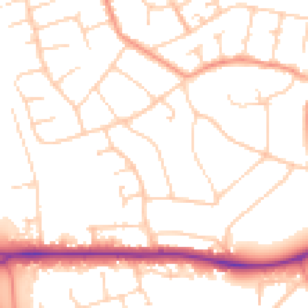
Daytime· 07:00 – 23:00
51.5dB

Night-time· 23:00 – 07:00
41.5dB