27 Birdwood Road, Maidenhead, SL6 5AP
About 27 Birdwood Road
27 Birdwood Road is a three-bedroom detached house in Maidenhead (SL6 5AP). It has a recorded floor area of 93 m² (around 1001 sq ft), construction records dating it to 1950-1966 and council tax band F. The latest certificate (November 2020) shows a D (score 59), a step below the typical UK home. The recommended improvements would lift it to B (score 81), a 2-band jump. Other recorded features include a conservatory.
Across 1998–2021, sale prices on this property compounded at 5.1% per year. Today's modelled estimate of £724,000 is 17.3% above the 2021 sale price. On a £-per-square-foot basis, the last sale (£616/sq ft) was about 51.9% above the typical sold price in the postcode. At 93 m² it's 29% smaller than the typical home in the postcode (131 m² median across 25 EPCs). Sold June 2021 for £617,000. That sale was during the post-pandemic price surge, when transactions cleared materially above pre-2020 trend.
What this property has
Inside
- Bedrooms3
- Bathrooms1
- Dining roomYes
- Utility roomYes
- StudyYes
- ConservatoryYes
Outside
- Private gardenWest-facing
- DrivewayYes
- Summer houseYes
Everything you need to know about 27 Birdwood Road
The true value, the hidden risks and the full sale history, in one report.
30-day money-back guarantee

The data behind every report


Energy performance
Recommended upgrades on file would lift this property by multiple EPC bands.
EPC Rating
Planning history
27 Birdwood Road has no planning applications on record.
The full report still covers planning activity across the surrounding area.
Sales history & valuation
Sale price has grown by over 3x since 1998.
£724,000
Modelled from EPC, postcode comparables and a sale-price growth of 5.1% per year over 23 years.
£617,000
Growth on file: 5.1% per year over 23 years.
Sales timeline
28 June 2021Most recent
£617,000
+65.6%over 16 years29 September 2004
£372,500
+91.0%over 6 years28 May 1998
£195,000
Median price across the last 5 sales in SL6 5AP: £712,000 (2024–2019).
Nearby sales in SL6 5AP
Versus other Birdwood Road homes
Price per m² for 27 Birdwood Road runs comfortably ahead of the street norm.
Price per m²
£6,634
Street avg £4,605
Floor Area
93 m²
Street avg 126 m²
Habitable Rooms
4 rooms
Street avg 6 rooms
CO₂ Emissions
4.7 t/year
Street avg 5.9 t/year
Everything you need to know about 27 Birdwood Road
The true value, the hidden risks and the full sale history, in one report.
30-day money-back guarantee
The data behind every report
Similar properties nearby
The neighbourhood at a glance
Crime
5/mo
Steady year-on-year across the wider district.
Nearest stop
0.2 km
Newlands Girls' School — bus stop.
Closest school
0.3 km
Newlands Girls' School. 20 schools nearby.
Go deeper on the local area
The full report breaks down crime, transport links, schools and air quality in depth.
Road noise across the postcode
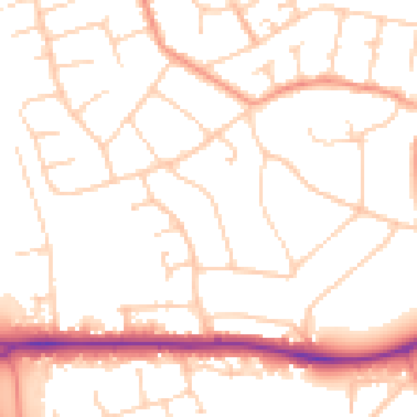
Daytime· 07:00 – 23:00
51.5dB

Night-time· 23:00 – 07:00
41.5dB