Are you a property professional?Get qualified leads from motivated homeowners.
Get started14 Barlow Road, Wilmslow, SK9 4BE
About 14 Barlow Road
A plain-English summary derived from public records, EPC certificates, sold prices and local data.
14 Barlow Road is a three-bedroom semi-detached house in Wilmslow (SK9 4BE). It has a recorded floor area of 105 m² (around 1130 sq ft), construction records dating it to 1930-1949 and council tax band C. The latest certificate (September 2014) shows a C (score 70). The recommended improvements would push it to B (score 85). The latest certificate is from September 2014, so improvements made since then won't be reflected. Records show the property has been extended at some point in its history.
Today's modelled estimate of £387,000 sits 72% above the 2015 sale of £225,000. At 105 m² it's 22.1% larger than the typical home in the postcode (86 m² median across 18 EPCs). 11 years since the last transfer (February 2015).
What this property has
Pulled from EPC certificates, claim submissions and our property model. Empty categories are hidden — we only show what's known.
Inside
- Bedrooms3
- Bathrooms1
Outside
- Private gardenYes
Building
Energy performance
Every EPC certificate filed against this property — current rating, recorded improvements, and where there's headroom to reach a higher band.
14 Barlow Road's EPC is over a decade old — improvements since won't be reflected.
EPC Expired
This certificate is over 10 years old and is no longer valid.Expired 24 Sept 2024
Sales history & valuation
Recorded transactions, our model's current estimate, and a quick read on what neighbouring properties have sold for.
14 Barlow Road valuation sits well clear of the typical sold price in this postcode.
Current estimate
See how we calculated this£387,000
Modelled from EPC, postcode comparables.
Last sold (2015)
£225,000
Recorded with HM Land Registry.
Sales timeline
Versus other Barlow Road homes
Four headline reads against 15 similar houses on this street, drawn from the latest EPC and Land Registry data.
Price per m² for 14 Barlow Road lags the street by a wide margin.
Price per m²
£2,143
Street avg £3,101
Floor Area
105 m²
Street avg 89 m²
Habitable Rooms
5 rooms
Street avg 5 rooms
Similar properties nearby
A handful of close matches in the same postcode area, ranked by likeness on bedrooms, type and floor area.
The neighbourhood at a glance
A condensed read of the local area. Each tile links through to the full breakdown on the Wilmslow district page.
Reported crime in the wider district is trending notably upward year-on-year.
Crime
3/mo
Rising year-on-year across the wider district.
Nearest stop
0.1 km
Road noise across the postcode
Modelled day and night-time noise levels around SK9 4BE from Defra's strategic mapping. The pin marks this postcode's centroid.
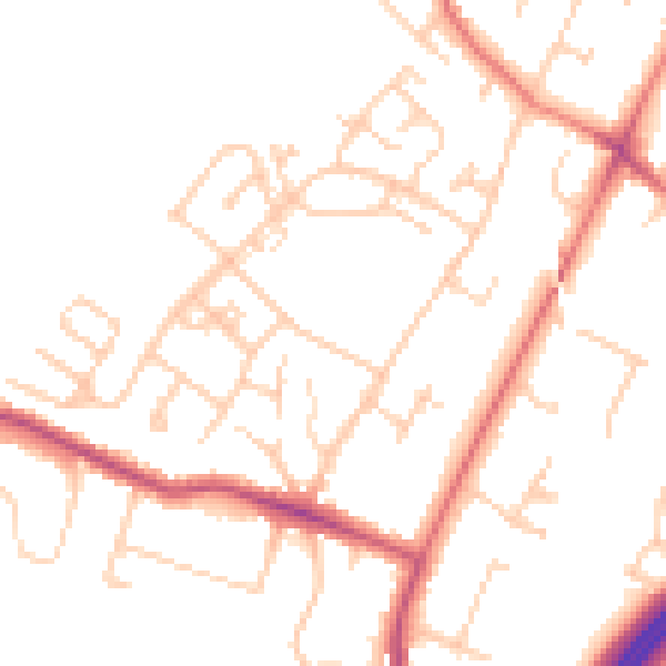
Daytime· 07:00 – 23:00
48.9dB

Everything within walking distance
Schools, transport stops and scenic spots near this property — 40 points of interest in total.
Beautiful places to visit nearby
Curated scenic spots within reach of this postcode, served by Beautifulplaces.ai. Photography and tagging come from their open dataset.
Common questions
The questions buyers, sellers and homeowners most often ask about 14 Barlow Road, Wilmslow, SK9 4BE. Each answer is also embedded as structured data for search engines.