6 Deva Close, Hazel Grove, Stockport, SK7 6HH
About 6 Deva Close
6 Deva Close is a four-bedroom detached house in Hazel Grove, Stockport, Stockport (SK7 6HH). It has a recorded floor area of 137 m² (around 1471 sq ft), construction records dating it to 1967-1975 and council tax band E. The latest certificate (January 2012) shows a D (score 62), on the cusp of jumping into the C band. The latest certificate is from January 2012, so improvements made since then won't be reflected. Records show the property has been extended at some point in its history. The home occupies a cul-de-sac position.
Today's modelled estimate of £480,000 sits 65.5% above the 2012 sale of £290,000. On a £-per-square-foot basis, the last sale (£197/sq ft) was about 17.3% below the postcode norm. On the market in May 2012 and unlisted since — roughly 14 years.
What this property has
Inside
- Bedrooms4
Outside
- GarageDouble
- Cul-de-sacYes
Building
- Previously extendedYes
- RefurbishedYes
Everything you need to know about 6 Deva Close
The true value, the hidden risks and the full sale history, in one report.
Pick your report · every report is £14.99
One time fee only - money back guarantee

The data behind every report


Energy performance
6 Deva Close's EPC is over a decade old — improvements since won't be reflected.
EPC Expired
This certificate is over 10 years old and is no longer valid.Expired 18 Jan 2022
EPC Rating
Get a survey for this property
Level 3 Building Survey
Because the property has been extended more than once, we believe a Level 3 building survey should be considered.
From £1,020 · Includes VAT
Planning history
6 Deva Close has no planning applications on record.
A planning report still maps activity across the surrounding area and reads this property's extension & conversion potential.
Sales history & valuation
6 Deva Close valuation sits well clear of the typical sold price in this postcode.
£480,000
Modelled from EPC, postcode comparables.
£290,000
Recorded with HM Land Registry.
Sales timeline
31 May 2012Most recent
£290,000
Median price across the last 5 sales in SK7 6HH: £320,000 (2023–2013).
Nearby sales in SK7 6HH
8 Deva Close, Hazel Grove, Stockport, SK7 6HH
Sold Dec 2023
£524,0001 Deva Close, Hazel Grove, Stockport, SK7 6HH
Sold May 2018
£352,25012 Deva Close, Hazel Grove, Stockport, SK7 6HH
Sold Mar 2014
£280,0007 Deva Close, Hazel Grove, Stockport, SK7 6HH
Sold Jun 2013
£264,6002 Deva Close, Hazel Grove, Stockport, SK7 6HH
Sold Feb 2007
£123,000
Versus other Deva Close homes
On epc rating, 6 Deva Close stands well clear of the street.
Price per m²
£2,122
Street avg £2,724
Floor Area
137 m²
Street avg 124 m²
Habitable Rooms
7 rooms
Street avg 7 rooms
CO₂ Emissions
4.9 t/year
Street avg 5.6 t/year
Everything you need to know about 6 Deva Close
The true value, the hidden risks and the full sale history, in one report.
Pick your report · every report is £14.99
One time fee only - money back guarantee
The data behind every report
Similar properties nearby
1 Charnwood Crescent, Hazel Grove
SK7 6HB
1 Deva Close, Hazel Grove
SK7 6HH
1 Darley Road, Hazel Grove
SK7 6DZ
1 Elton Drive, Hazel Grove
SK7 6EP
1 Ashbourne Road, Hazel Grove
SK7 6DX
1 Castleton Road, Hazel Grove
SK7 6LB
1 Bakewell Road, Hazel Grove
SK7 6JT
1 Ayr Close, Hazel Grove
SK7 6NT
The neighbourhood at a glance
Rail-style transport is unusually close for this postcode.
Crime
1/mo
Steady year-on-year across the wider district.
Nearest stop
0.1 km
Shepley Drive — bus stop.
Closest school
0.3 km
St Peter's Catholic Primary School. 20 schools nearby.
Go deeper on the local area
A Local Area report breaks down crime, transport links, schools and air quality in depth.
Road noise across the postcode
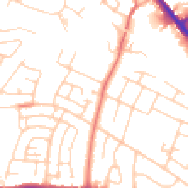
Daytime· 07:00 – 23:00
50.6dB

Night-time· 23:00 – 07:00
40.1dB