14 Capesthorne Road, Hazel Grove, Stockport, SK7 6BP
About 14 Capesthorne Road
14 Capesthorne Road is a property in Hazel Grove, Stockport, Stockport (SK7 6BP). It has council tax band C.
It hasn't traded since August 2005, a hold of 21 years that's notably long for the area. Across 2002–2005, sale prices on this property compounded at 13.7% per year.
Everything you need to know about 14 Capesthorne Road
The true value, the hidden risks and the full sale history, in one report.
Pick your report · every report is £14.99
One time fee only - money back guarantee

The data behind every report


Energy performance
No EPC on record
This property doesn't have an Energy Performance Certificate yet. An EPC is required to sell or let — and unlocks our automated valuation.
Get a survey for this property
Level 2 HomeBuyer Report
We've checked 10 risk factors against the available data for this property and believe a Level 2 HomeBuyer Report could be a suitable option for you.
Planning history
14 Capesthorne Road has no planning applications on record.
A planning report still maps activity across the surrounding area and reads this property's extension & conversion potential.
Sales history & valuation
£182,500
Growth on file: 13.7% per year over 3 years.
Sales timeline
4 August 2005Most recent
£182,500
+52.1%over 3 years1 May 2002
£119,950
Median price across the last 5 sales in SK7 6BP: £331,000 (2024–2021).
Nearby sales in SK7 6BP
23 Capesthorne Road, Hazel Grove, Stockport, SK7 6BP
Sold Oct 2024
£377,50038 Capesthorne Road, Hazel Grove, Stockport, SK7 6BP
Sold Aug 2024
£382,50016 Capesthorne Road, Hazel Grove, Stockport, SK7 6BP
Sold Oct 2022
£328,5003 Capesthorne Road, Hazel Grove, Stockport, SK7 6BP
Sold May 2021
£275,00028 Capesthorne Road, Hazel Grove, Stockport, SK7 6BP
Sold Feb 2021
£331,000
Everything you need to know about 14 Capesthorne Road
The true value, the hidden risks and the full sale history, in one report.
Pick your report · every report is £14.99
One time fee only - money back guarantee
The data behind every report
Similar properties nearby
1 Capesthorne Road, Hazel Grove
SK7 6BP
1 Devonshire Road, Hazel Grove
SK7 6BX
1 Capesthorne Close, Hazel Grove
SK7 6BR
1 Eyam Road, Hazel Grove
SK7 6HP
1 Baslow Drive, Hazel Grove
SK7 6DR
1 Edale Close, Hazel Grove
SK7 6JZ
1 Ashbourne Road, Hazel Grove
SK7 6DX
1 Bradwell Road, Hazel Grove
SK7 6EU
The neighbourhood at a glance
Crime
1/mo
Steady year-on-year across the wider district.
Nearest stop
0.1 km
Mill Lane — bus stop.
Closest school
1.0 km
Norbury Hall Primary School. 16 schools nearby.
Go deeper on the local area
A Local Area report breaks down crime, transport links, schools and air quality in depth.
Road noise across the postcode
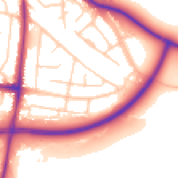
Daytime· 07:00 – 23:00
56.1dB

Night-time· 23:00 – 07:00
48.9dB