7 Caernarvon Drive, Hazel Grove, Stockport, SK7 5PT
About 7 Caernarvon Drive
7 Caernarvon Drive is a property in Hazel Grove, Stockport, Stockport (SK7 5PT). It has council tax band D.
Held since November 2008 — that's 18 years off the open market, well above the local norm. That sale landed at the peak of the pre-credit-crunch market, which is a useful reference point when interpreting the price.
Everything you need to know about 7 Caernarvon Drive
The true value, the hidden risks and the full sale history, in one report.
Pick your report · every report is £14.99
One time fee only - money back guarantee

The data behind every report


Energy performance
No EPC on record
This property doesn't have an Energy Performance Certificate yet. An EPC is required to sell or let — and unlocks our automated valuation.
Get a survey for this property
Level 2 HomeBuyer Report
We've checked 10 risk factors against the available data for this property and believe a Level 2 HomeBuyer Report could be a suitable option for you.
Planning history
7 Caernarvon Drive has no planning applications on record.
But the area is active
1 notable application nearby — larger schemes and conversions that could reshape the street. The report maps them all.
Sales history & valuation
The latest sale landed at the peak of the pre-credit-crunch market — a high-water reference point.
£170,000
Recorded with HM Land Registry.
Sales timeline
17 November 2008Most recent
£170,000
Median price across the last 5 sales in SK7 5PT: £255,000 (2022–2016).
Nearby sales in SK7 5PT
5 Caernarvon Drive, Hazel Grove, Stockport, SK7 5PT
Sold Jul 2022
£280,00029 Caernarvon Drive, Hazel Grove, Stockport, SK7 5PT
Sold Jun 2021
£314,00017 Caernarvon Drive, Hazel Grove, Stockport, SK7 5PT
Sold Aug 2017
£255,00019 Caernarvon Drive, Hazel Grove, Stockport, SK7 5PT
Sold Aug 2016
£220,00025 Caernarvon Drive, Hazel Grove, Stockport, SK7 5PT
Sold Mar 2016
£217,500
Everything you need to know about 7 Caernarvon Drive
The true value, the hidden risks and the full sale history, in one report.
Pick your report · every report is £14.99
One time fee only - money back guarantee
The data behind every report
Similar properties nearby
1 Carisbrooke Avenue, Hazel Grove
SK7 5PL
1 Arnside Avenue, Hazel Grove
SK7 5AP
1 Denbigh Close, Hazel Grove
SK7 5NJ
1 Caernarvon Drive, Hazel Grove
SK7 5PT
1 Alvington Grove, Hazel Grove
SK7 5LS
1 Boscombe Drive, Hazel Grove
SK7 5JA
1 Cartmel Close, Hazel Grove
SK7 5AR
1 Denbury Green, Hazel Grove
SK7 5QS
The neighbourhood at a glance
Rail-style transport is unusually close for this postcode.
Crime
1/mo
Steady year-on-year across the wider district.
Nearest stop
0.1 km
Moorfield School — bus stop.
Closest school
0.1 km
Moorfield Primary School. 22 schools nearby.
Go deeper on the local area
A Local Area report breaks down crime, transport links, schools and air quality in depth.
Road noise across the postcode
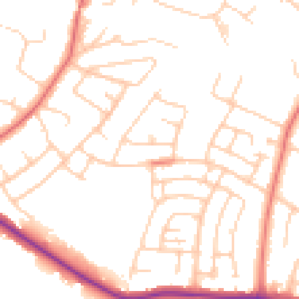
Daytime· 07:00 – 23:00
50.5dB

Night-time· 23:00 – 07:00
39.7dB