1 Arundel Avenue, Hazel Grove, Stockport, SK7 5LA
About 1 Arundel Avenue
1 Arundel Avenue is a property in Hazel Grove, Stockport, Stockport (SK7 5LA). It has council tax band C.
3 planning records sit against the property, 3 approved, 0 refused. Past consents include an extension, meaningful when judging how the property has evolved.
Energy performance
No EPC on record
This property doesn't have an Energy Performance Certificate yet. An EPC is required to sell or let — and unlocks our automated valuation.
Get a survey for this property
Level 2 HomeBuyer Report
We've checked 10 risk factors against the available data for this property and believe a Level 2 HomeBuyer Report could be a suitable option for you.
Planning history
Multiple extension applications run across more than a decade of planning history at 1 Arundel Avenue.
- Sept 2012ExtensionFullOutcome in report
Extension: Single storey · Side of property
First floor side extension
- Documents
- 4 docs on file
- Reference
- DC/050499
- Apr 2007ExtensionFullOutcome in report
Extension: Single storey · Side of property
First floor side extension.
- Documents
- 3 docs on file
- Reference
- DC/025646
Sales history & valuation
No sales recorded with HM Land Registry
That can mean the property has never traded since the registry began publishing in 1995, was a new build that hasn't been registered yet, or is held in the same hands long-term.
Median price across the last 5 sales in SK7 5LA: £265,000 (2023–2014).
Nearby sales in SK7 5LA
10 Arundel Avenue, Hazel Grove, Stockport, SK7 5LA
Sold Aug 2023
£346,8005 Arundel Avenue, Hazel Grove, Stockport, SK7 5LA
Sold Jul 2023
£318,00011 Arundel Avenue, Hazel Grove, Stockport, SK7 5LA
Sold Sept 2020
£265,00014 Arundel Avenue, Hazel Grove, Stockport, SK7 5LA
Sold Jan 2016
£250,0009 Arundel Avenue, Hazel Grove, Stockport, SK7 5LA
Sold Jul 2014
£235,000
Similar properties nearby
1 Aldwyn Crescent, Hazel Grove
SK7 5HY
1 Alston Close, Hazel Grove
SK7 5LR
1 Alvington Grove, Hazel Grove
SK7 5LS
1 Arnside Avenue, Hazel Grove
SK7 5AP
1 Barlows Lane South, Hazel Grove
SK7 5AJ
1 Beaumaris Crescent, Hazel Grove
SK7 5NG
1 Bickerton Drive, Hazel Grove
SK7 5QY
1 Blackthorn Road, Hazel Grove
SK7 5EL
The neighbourhood at a glance
Rail-style transport is unusually close for this postcode.
Crime
1/mo
Steady year-on-year across the wider district.
Nearest stop
0.1 km
Arundel Avenue — bus stop.
Closest school
0.4 km
Moorfield Primary School. 19 schools nearby.
Road noise across the postcode
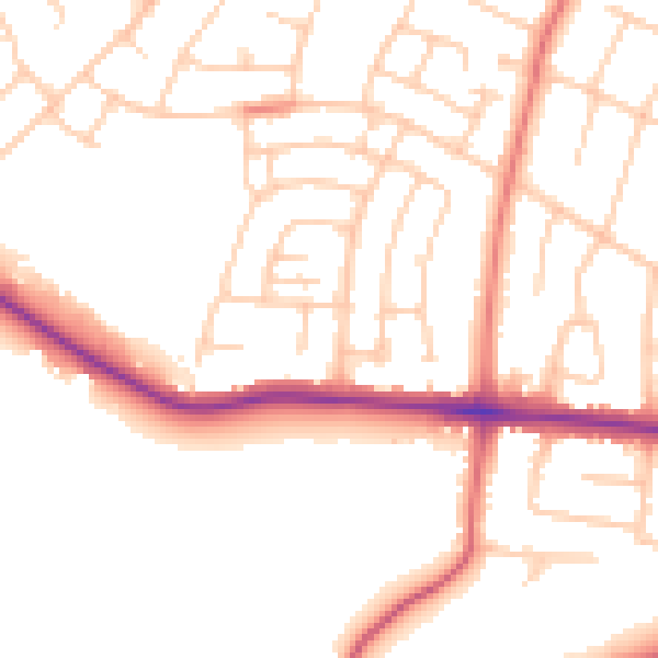
Daytime· 07:00 – 23:00
51.1dB

Night-time· 23:00 – 07:00
41.6dB