Model valuation£417,0008 Busby Close
Local market context
4 Broomhill Drive is a five-bedroom detached house in Bramhall, Stockport, Stockport (SK7 3NJ). It has a recorded floor area of 313 m² (around 3369 sq ft), construction records dating it to 1991-1995 and council tax band H. The latest certificate (February 2017) shows a D (score 66), on the cusp of jumping into the C band. The recommended improvements would push it to C (score 73). Other recorded features include attached land beyond the plot.
At 313 m² the property is well over the postcode median (234 m² across 8 EPCs), placing it in the larger end of the local stock. One planning record on file: tree works approved in 2021. Past consents include tree works, meaningful when judging how the property has evolved. Across 2008–2017, sale prices on this property compounded at 3.7% per year. Today's modelled estimate of £1,488,000 is 24% above the 2017 sale price. On a £-per-square-foot basis, the last sale (£356/sq ft) was about 31.1% above the typical sold price in the postcode. Last sold in June 2017, so it's been off the market for around 9 years.
The true value, the hidden risks and the full sale history, in one report.
Pick your report · from £14.99
One time fee only - money back guarantee

The data behind every report


4 Broomhill Drive's carbon output runs well above what efficient homes in the postcode produce.
Certificate validity
Valid until 27 February 2027

Get a survey for this property
Because the property is a large detached home over 300m², we believe a Level 3 building survey should be considered.
From £1,645 · Includes VAT
1 application on record at 4 Broomhill Drive, Bramhall, Stockport, SK7 3NJ
T1 - Atlas Cedar. Fell due to poor location so close to front wall, driveway and pavement. The tree has outgrown its available space and appears to be causing damage to the front boundary wall (see attached pictures) There is also some evidence of cedar needle blight causing dead tips to the branches, although currently fairly minor. T2 - Cypress. Fell due to poor form and poor location beneath cedar. T2 has grown rapidly in competition with the cedar, meaning that if T1 were to be removed, T2 would be left very one-sided and therefore unbalanced, as well having low amenity value. T3 & T4 Pine sp. Fell due to poor choice of species for location; poor condition of T3 and excessive shading of front lawned area. T3 in particular is showing considerable signs of stress with a very sparse covering of needles. The choice of species has made the front of the property extremely shaded - the lawn is basically a dark and unusable space. These pines also seem to produce a particularly dense network of surface roots. Given the proximity of the garage block and front wall, the applicant has understandable concerns over the potential for future issues. The applicant is amenable to replanting, but would favour utilising the wider border along the left hand side of the driveway when viewed from the road. In this way, replacement trees could be sited further from the garage and, ideally, further back from the front wall. We have suggested that 3 Scot's Pines might work as part of a remodelling of the existing border planting. HAR/CA29, TPO: 81W, TPO: 85W.
You're seeing the shape of it. The report has the substance.
One time fee only - money back guarantee
4 Broomhill Drive valuation sits well clear of the typical sold price in this postcode.
£1,488,000
Modelled from EPC, postcode comparables and a sale-price growth of 3.7% per year over 9 years.
£1,200,000
Growth on file: 3.7% per year over 9 years.
29 June 2017Most recent
£1,200,000
+37.1%over 8 years29 September 2008
£875,000
Median price across the last 5 sales in SK7 3NJ: £1,070,000 (2026–2022).
12 Broomhill Drive, Bramhall, Stockport, SK7 3NJ
Sold Jun 2026
6 Broomhill Drive, Bramhall, Stockport, SK7 3NJ
Sold Feb 2025
7 Broomhill Drive, Bramhall, Stockport, SK7 3NJ
Sold Feb 2025
5 Broomhill Drive, Bramhall, Stockport, SK7 3NJ
Sold Aug 2023
10 Broomhill Drive, Bramhall, Stockport, SK7 3NJ
Sold Apr 2022
4 Broomhill Drive outperforms the street on floor area by a wide margin.
Price per m²
£3,834
Street avg £3,522
Floor Area
313 m²
Street avg 272 m²
Habitable Rooms
9 rooms
Street avg 9 rooms
CO₂ Emissions
11.0 t/year
Street avg 9.9 t/year
Property research, connected
Explore sale histories, valuations, energy ratings and local areas. Ask the assistant to connect the details and take your research further.
Start your researchSK7 3EL
SK7 3NJ
SK7 3PS
SK7 3BW
SK7 3NY
SK7 3BX
SK7 3DA
SK7 3DE
Daytime road noise here sits well below conversation level — a quiet pocket of the postcode.
Crime
2/mo
Steady year-on-year across the wider district.
Nearest stop
0.7 km
Broadway — bus stop.
Closest school
0.5 km
Lane End Primary School. 35 schools nearby.
Go deeper on the local area
A Local Area report breaks down crime, transport links, schools and air quality in depth.
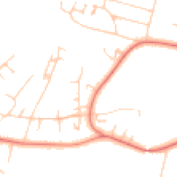
Daytime· 07:00 – 23:00
46.9dB

Night-time· 23:00 – 07:00
37.1dB