3 Chapel Fields, Marple, Stockport, SK6 7AU
About 3 Chapel Fields
3 Chapel Fields is a three-bedroom mid-terrace house in Marple, Stockport, Stockport (SK6 7AU). It has a recorded floor area of 91 m² (around 980 sq ft), construction records dating it to before 1900 and council tax band B. Other recorded features include a basement. Period features are noted in the property record. The latest certificate (April 2019) shows a C (score 72). The recommended improvements would push it to B (score 86).
Most recent transfer: May 2021 at £236,000. Across the public record there are 4 sales, relatively high churn for a single property. That sale was during the post-pandemic price surge, when transactions cleared materially above pre-2020 trend. Across 2001–2021, sale prices on this property compounded at 7.1% per year. Today's modelled estimate of £301,000 is 27.5% above the 2021 sale price. On a £-per-square-foot basis, the last sale (£241/sq ft) was about 31% above the typical sold price in the postcode.
What this property has
Inside
- Bedrooms3
- Bathrooms1
- BasementYes
Outside
- Private gardenRear
Building
- Central heatingYes
- Period featuresYes
- RefurbishedYes
Everything you need to know about 3 Chapel Fields
The true value, the hidden risks and the full sale history, in one report.
Pick your report · every report is £14.99
One time fee only - money back guarantee

The data behind every report


Energy performance
EPC Rating
Get a survey for this property
Level 3 Building Survey
Because the property was built before 1919, we believe a Level 3 building survey should be considered.
From £955 · Includes VAT
Planning history
3 Chapel Fields has no planning applications on record.
A planning report still maps activity across the surrounding area and reads this property's extension & conversion potential.
Sales history & valuation
3 Chapel Fields has more than tripled in price since its earliest registered sale in 2001.
£301,000
Modelled from EPC, postcode comparables and a sale-price growth of 7.1% per year over 20 years.
£236,000
Growth on file: 7.1% per year over 20 years.
Sales timeline
6 May 2021Most recent
£236,000
+57.3%over 10 years26 October 2010
£150,000
+20.0%over 3 years14 November 2006
£125,000
+110.1%over 5 years17 May 2001
£59,500
Median price across the last 5 sales in SK6 7AU: £183,000 (2024–2013).
Everything you need to know about 3 Chapel Fields
The true value, the hidden risks and the full sale history, in one report.
Pick your report · every report is £14.99
One time fee only - money back guarantee
The data behind every report
Similar properties nearby
1 Brickbridge Road, Marple
SK6 7BQ
1 Barlow Crescent, Marple
SK6 7PE
1 Buxton Lane, Marple
SK6 7QJ
1 Brabyns Brow, Marple
SK6 7DA
1 Brookdale Avenue, Marple
SK6 7HP
1 Albert Place, Marple
SK6 7RP
1 Chapel Fields, Marple
SK6 7AU
1 Brydges Road, Marple
SK6 7RA
The neighbourhood at a glance
Crime
1/mo
Steady year-on-year across the wider district.
Nearest stop
0.1 km
Conservative Club — bus stop.
Closest school
0.3 km
All Saints Church of England Primary School Marple. 10 schools nearby.
Go deeper on the local area
A Local Area report breaks down crime, transport links, schools and air quality in depth.
Road noise across the postcode
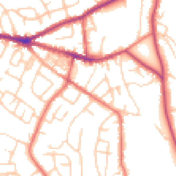
Daytime· 07:00 – 23:00
52.5dB

Night-time· 23:00 – 07:00
41.6dB