14 Greenway, Romiley, Stockport, SK6 4HH
About 14 Greenway
14 Greenway is a property in Romiley, Stockport, Stockport (SK6 4HH). It has council tax band A.
It hasn't traded since June 2006, a hold of 20 years that's notably long for the area.
Everything you need to know about 14 Greenway
The true value, the hidden risks and the full sale history, in one report.
Pick your report · every report is £14.99
One time fee only - money back guarantee

The data behind every report


Energy performance
No EPC on record
This property doesn't have an Energy Performance Certificate yet. An EPC is required to sell or let — and unlocks our automated valuation.
Get a survey for this property
Level 2 HomeBuyer Report
We've checked 10 risk factors against the available data for this property and believe a Level 2 HomeBuyer Report could be a suitable option for you.
Planning history
14 Greenway has no planning applications on record.
But the area is active
1 notable application nearby — larger schemes and conversions that could reshape the street. The report maps them all.
Sales history & valuation
£100,000
Recorded with HM Land Registry.
Sales timeline
25 June 2006Most recent
£100,000
Median price across the last 5 sales in SK6 4HH: £220,000 (2025–2022).
Nearby sales in SK6 4HH
52 Greenway, Romiley, Stockport, SK6 4HH
Sold Apr 2025
£220,00035 Greenway, Romiley, Stockport, SK6 4HH
Sold Jun 2024
£225,00042 Greenway, Romiley, Stockport, SK6 4HH
Sold Oct 2023
£222,0001 Greenway, Romiley, Stockport, SK6 4HH
Sold Aug 2023
£180,00012 Greenway, Romiley, Stockport, SK6 4HH
Sold Jul 2022
£175,000
Everything you need to know about 14 Greenway
The true value, the hidden risks and the full sale history, in one report.
Pick your report · every report is £14.99
One time fee only - money back guarantee
The data behind every report
Similar properties nearby
1 Douthwaite Drive, Romiley
SK6 4HQ
1 Gotherage Close, Romiley
SK6 4ET
1 Cherry Croft, Romiley
SK6 4HW
1 Etherow Avenue, Romiley
SK6 4HA
1 Greenway, Romiley
SK6 4HH
1 Cherry Tree Close, Romiley
SK6 4HD
1 Gothic Close, Romiley
SK6 4JT
1 Central Drive, Romiley
SK6 4PE
The neighbourhood at a glance
Daytime road noise here sits well below conversation level — a quiet pocket of the postcode.
Crime
1/mo
Steady year-on-year across the wider district.
Nearest stop
0.3 km
Cherry Tree Lane — bus stop.
Closest school
0.9 km
Romiley Primary School. 16 schools nearby.
Go deeper on the local area
A Local Area report breaks down crime, transport links, schools and air quality in depth.
Road noise across the postcode
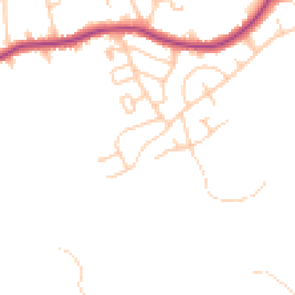
Daytime· 07:00 – 23:00
44.8dB

Night-time· 23:00 – 07:00
37.4dB