2 Burnside Close, Bredbury, Stockport, SK6 2JZ
About 2 Burnside Close
2 Burnside Close is an end-of-terrace house in Bredbury, Stockport, Stockport (SK6 2JZ). It has a recorded floor area of 45 m² (around 484 sq ft), construction records dating it to 1950-1966 and council tax band A. At 45 m² this is the smallest unit on EPC record across the building (45–81 m²). The building's EPC ratings span D to C, with this unit at the bottom. The latest certificate (October 2016) shows a D (score 66), on the cusp of jumping into the C band. The recommended improvements would push it to C (score 75).
Today's modelled estimate of £128,000 is 28% above the 2024 sale price. On a £-per-square-foot basis, the last sale (£206/sq ft) was about 30.9% above the typical sold price in the postcode. At 45 m² it's 29.7% smaller than the typical home in the postcode (64 m² median across 6 EPCs). Sold March 2024 for £100,000.
Everything you need to know about 2 Burnside Close
The true value, the hidden risks and the full sale history, in one report.
Pick your report · every report is £14.99
One time fee only - money back guarantee

The data behind every report


Energy performance
EPC Rating
Get a survey for this property
Level 2 HomeBuyer Report
We've checked 10 risk factors against the available data for this property and believe a Level 2 HomeBuyer Report could be a suitable option for you.
From £495 · Includes VAT
Planning history
2 Burnside Close has no planning applications on record.
But the area is active
1 notable application nearby — larger schemes and conversions that could reshape the street. The report maps them all.
Sales history & valuation
£128,000
Modelled from EPC, postcode comparables.
£100,000
Recorded with HM Land Registry.
Sales timeline
15 March 2024Most recent
£100,000
Median price across the last 3 sales in SK6 2JZ: £120,550 (2021–2007).
Versus other Burnside Close homes
2 Burnside Close is notably below the street on co₂ emissions.
EPC Rating
66 (D)
Street avg 70 (C)
Floor Area
45 m²
Street avg 55 m²
CO₂ Emissions
2.4 t/year
Street avg 2.1 t/year
Habitable Rooms
3 rooms
Street avg 3 rooms
Everything you need to know about 2 Burnside Close
The true value, the hidden risks and the full sale history, in one report.
Pick your report · every report is £14.99
One time fee only - money back guarantee
The data behind every report
Similar properties nearby
1 Burnside Close, Bredbury
SK6 2JZ
1 Brookdale Close, Bredbury
SK6 2LB
1 Falstaff Mews, Higher Bents Lane, Bredbury
SK6 2LU
1 Bents Avenue, Bredbury
SK6 2LF
1 Bancroft Close, Bredbury
SK6 2HB
1 Avon Bank, Bredbury
SK6 2HY
1 Doyle Avenue, Bredbury
SK6 2BZ
1 Elm Tree Road, Bredbury
SK6 2EG
The neighbourhood at a glance
Rail-style transport is unusually close for this postcode.
Crime
1/mo
Steady year-on-year across the wider district.
Nearest stop
0.2 km
Highfield Park Road — bus stop.
Closest school
0.6 km
Werneth School. 22 schools nearby.
Go deeper on the local area
A Local Area report breaks down crime, transport links, schools and air quality in depth.
Road noise across the postcode
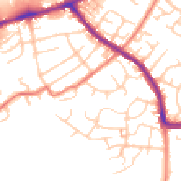
Daytime· 07:00 – 23:00
51.3dB

Night-time· 23:00 – 07:00
41.3dB