12 Ash Court, Hyde Road, Woodley, Stockport, SK6 1LZ
About 12 Ash Court
12 Ash Court is a semi-detached house in Woodley, Stockport, Stockport (SK6 1LZ). It has a recorded floor area of 47 m² (around 506 sq ft), construction records dating it to 1967-1975 and council tax band A. The latest certificate (November 2024) shows a C (score 78), near the top of the C band. When first surveyed in March 2017 the rating was E, the property has climbed 2 bands since. Between certificates, wall efficiency dropped from Good to Average. The recommended improvements would push it to B (score 91). Main heating runs on electricity. At 47 m² this is the 23rd smallest of 46 units on EPC record in the building, where floor areas span 32–48 m². The building's EPC ratings span E to A across 46 units on file.
Everything you need to know about 12 Ash Court
The true value, the hidden risks and the full sale history, in one report.
Pick your report · every report is £14.99
One time fee only - money back guarantee

The data behind every report


Energy performance
EPC Rating
Property Improvements
Changes detected from historical EPC data
More low energy lighting installed
Get a survey for this property
Level 3 Building Survey
Because the property has no mains gas supply, we believe a Level 3 building survey should be considered.
From £820 · Includes VAT
Planning history
12 Ash Court has no planning applications on record.
But the area is active
2 notable applications nearby — larger schemes and conversions that could reshape the street. The report maps them all.
Sales history & valuation
12 Ash Court has no Land Registry sales on file, suggesting it has stayed in the same hands since registration began.
£121,000
Modelled from EPC, postcode comparables.
No sales recorded with HM Land Registry
That can mean the property has never traded since the registry began publishing in 1995, was a new build that hasn't been registered yet, or is held in the same hands long-term.
Versus other Hyde Road homes
CO₂ Emissions for 12 Ash Court lags the street by a wide margin.
EPC Rating
78 (C)
Street avg 80 (C)
Floor Area
47 m²
Street avg 43 m²
CO₂ Emissions
3.2 t/year
Street avg 2.5 t/year
Habitable Rooms
2 rooms
Street avg 2 rooms
Everything you need to know about 12 Ash Court
The true value, the hidden risks and the full sale history, in one report.
Pick your report · every report is £14.99
One time fee only - money back guarantee
The data behind every report
Similar properties nearby
1 Ash Court, Hyde Road, Woodley
SK6 1LZ
1 Copage Drive, Bredbury
SK6 1ET
1 Chamberlain Gardens, Bredbury
SK6 1BR
1 Castle Hill Park, Mill Lane, Woodley
SK6 1QQ
1 Braddon Road, Woodley
SK6 1RE
1 Chapel Street, Woodley
SK6 1NF
1 Botany Road, Woodley
SK6 1RA
1 Bankfield Road, Woodley
SK6 1RH
The neighbourhood at a glance
Rail-style transport is unusually close for this postcode.
Crime
1/mo
Steady year-on-year across the wider district.
Nearest stop
0.0 km
Woodley Precinct — bus stop.
Closest school
0.4 km
Bredbury St. Marks CofE Primary School. 21 schools nearby.
Go deeper on the local area
A Local Area report breaks down crime, transport links, schools and air quality in depth.
Road noise across the postcode
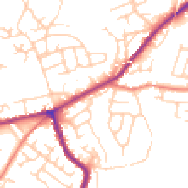
Daytime· 07:00 – 23:00
51.0dB

Night-time· 23:00 – 07:00
41.1dB