Model valuation£417,0008 Busby Close
Local market context
51 Gradwell Street is a two-bedroom mid-terrace house in Stockport (SK3 0DL). It has a recorded floor area of 86 m² (around 926 sq ft), construction records dating it to 1900-1929 and council tax band A. The latest certificate (April 2025) shows a D (score 65), on the cusp of jumping into the C band. The recommended improvements would lift it to B (score 83), a 2-band jump. Other recorded features include a basement. Our model identifies extension potential, subject to local planning policy.
A recent sale: £178,000 in May 2025. Across 1998–2025, sale prices on this property compounded at 5.3% per year. On a £-per-square-foot basis, the last sale (£192/sq ft) was about 109.4% above the typical sold price in the postcode.
The true value, the hidden risks and the full sale history, in one report.
Pick your report · from £14.99
One time fee only - money back guarantee

The data behind every report


Recommended upgrades on file would lift this property by multiple EPC bands.
Certificate validity
Valid until 6 April 2035

Get a survey for this property
Because the property was built before 1919 and has solid (non-cavity) walls, we believe a Level 3 building survey should be considered.
From £820 · Includes VAT
51 Gradwell Street has no planning applications on record.
But the area is active
5 notable applications nearby — larger schemes and conversions that could reshape the street. The report maps them all.
51 Gradwell Street has more than tripled in price since its earliest registered sale in 1998.
£194,000
Modelled from EPC, postcode comparables and a sale-price growth of 5.3% per year over 27 years.
£178,000
Growth on file: 5.3% per year over 27 years.
22 May 2025Most recent
£178,000
+49.0%over 18 years18 July 2006
£119,500
+167.3%over 7 years17 September 1998
£44,700
Median price across the last 5 sales in SK3 0DL: £195,000 (2026–2025).
51 Gradwell Street is notably below the street on habitable rooms.
Price per m²
£2,070
Street avg £1,387
Floor Area
86 m²
Street avg 94 m²
Habitable Rooms
3 rooms
Street avg 4 rooms
CO₂ Emissions
3.2 t/year
Street avg 4.2 t/year
Property research, connected
Explore sale histories, valuations, energy ratings and local areas. Ask the assistant to connect the details and take your research further.
Start your researchRail-style transport is unusually close for this postcode.
Crime
3/mo
Steady year-on-year across the wider district.
Nearest stop
0.2 km
Chatham Street — bus stop.
Closest school
0.2 km
St Matthew's Church of England Primary School. 40 schools nearby.
Go deeper on the local area
A Local Area report breaks down crime, transport links, schools and air quality in depth.
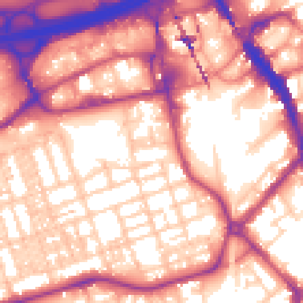
Daytime· 07:00 – 23:00
59.7dB
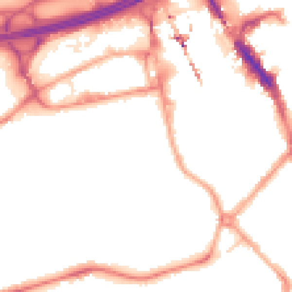
Night-time· 23:00 – 07:00
50.2dB