Are you a property professional?Get qualified leads from motivated homeowners.
Get started3 Frood Close, Chapel En Le Frith, High Peak, SK23 0JS
About 3 Frood Close
A plain-English summary derived from public records, EPC certificates, sold prices and local data.
3 Frood Close is a three-bedroom detached house in Chapel-En-Le-Frith, High Peak, High Peak (SK23 0JS). It has a recorded floor area of 86 m² (around 926 sq ft), construction records dating it to 1996-2002 and council tax band D. The latest certificate (January 2015) shows a D (score 65), on the cusp of jumping into the C band. The recommended improvements would lift it to B (score 83), a 2-band jump. The latest certificate is from January 2015, so improvements made since then won't be reflected. The home occupies a cul-de-sac position.
Sale prices here have outpaced High Peak HPI: 3.7% per year against 0% for the wider region. Today's modelled estimate of £305,000 sits 82.6% above the 2015 sale of £167,000. Last sold in July 2015, so it's been off the market for around 11 years.
What this property has
Pulled from EPC certificates, claim submissions and our property model. Empty categories are hidden — we only show what's known.
Inside
- Bedrooms3
- Bathrooms2
- Dining roomYes
- EnsuiteYes
Energy performance
Every EPC certificate filed against this property — current rating, recorded improvements, and where there's headroom to reach a higher band.
Recommended upgrades on file would lift this property by multiple EPC bands.
EPC Expired
This certificate is over 10 years old and is no longer valid.Expired 27 Jan 2025
Sales history & valuation
Recorded transactions, our model's current estimate, and a quick read on what neighbouring properties have sold for.
3 Frood Close's estimated value is more than triple its earliest registered sale price (1998).
Current estimate
See how we calculated this£305,000
Modelled from EPC, postcode comparables and a sale-price growth of 3.7% per year over 17 years.
Last sold (2015)
£167,000
Growth on file: 3.7% per year over 17 years.
Sales timeline
Similar properties nearby
A handful of close matches in the same postcode area, ranked by likeness on bedrooms, type and floor area.
The neighbourhood at a glance
A condensed read of the local area. Each tile links through to the full breakdown on the High Peak district page.
Crime
2/mo
Steady year-on-year across the wider district.
Nearest stop
0.1 km
Burrfields Road — bus stop.
Road noise across the postcode
Modelled day and night-time noise levels around SK23 0JS from Defra's strategic mapping. The pin marks this postcode's centroid.
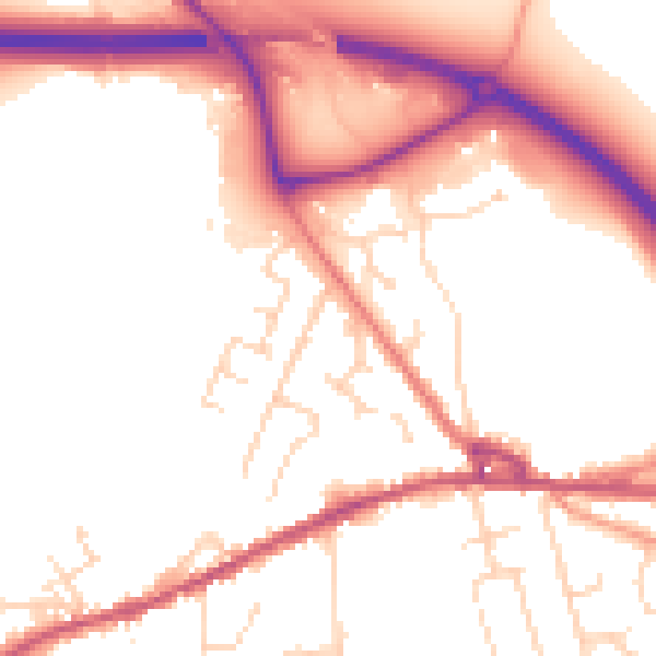
Daytime· 07:00 – 23:00
52.8dB

Everything within walking distance
Schools, transport stops and scenic spots near this property — 33 points of interest in total.
Beautiful places to visit nearby
Curated scenic spots within reach of this postcode, served by Beautifulplaces.ai. Photography and tagging come from their open dataset.
Common questions
The questions buyers, sellers and homeowners most often ask about 3 Frood Close, Chapel En Le Frith, High Peak, SK23 0JS. Each answer is also embedded as structured data for search engines.