33 Bishopton Drive, Macclesfield, SK11 8TS
About 33 Bishopton Drive
33 Bishopton Drive is a two-bedroom end-of-terrace house in Macclesfield (SK11 8TS). It has a recorded floor area of 71 m² (around 764 sq ft), construction records dating it to 1996-2002 and council tax band C. At 71 m² this is the 13th smallest of 31 units on EPC record in the building, where floor areas span 63–169 m². The building's EPC ratings span F to C, with this unit at the top. The latest certificate (June 2018) shows a C (score 75), near the top of the C band.
Across 1996–2018, sale prices on this property compounded at 5.1% per year. Today's modelled estimate of £216,000 is 23.4% above the 2018 sale price. On a £-per-square-foot basis, the last sale (£229/sq ft) was about 44.7% above the typical sold price in the postcode. Most recent transfer: September 2018 at £175,000.
What this property has
Inside
- Bedrooms2
- Bathrooms1
Outside
- Private gardenYes
- ParkingAllocated
Building
- RefurbishedYes
Everything you need to know about 33 Bishopton Drive
The true value, the hidden risks and the full sale history, in one report.
30-day money-back guarantee

The data behind every report


Energy performance
EPC Rating
Planning history
33 Bishopton Drive has no planning applications on record.
Notable planning nearby
3applications of note in the surrounding area
Sales history & valuation
33 Bishopton Drive has more than tripled in price since its earliest registered sale in 1996.
£216,000
Modelled from EPC, postcode comparables and a sale-price growth of 5.1% per year over 23 years.
£175,000
Growth on file: 5.1% per year over 23 years.
Sales timeline
13 September 2018Most recent
£175,000
+62.0%over 16 years18 June 2002
£108,000
+89.5%over 6 years3 January 1996
£57,000
Median price across the last 5 sales in SK11 8TS: £220,000 (2025–2023).
Nearby sales in SK11 8TS
69 Bishopton Drive, Macclesfield, SK11 8TS
Sold Jun 2025
£471,00035 Bishopton Drive, Macclesfield, SK11 8TS
Sold Jun 2025
£220,00041 Bishopton Drive, Macclesfield, SK11 8TS
Sold Feb 2025
£200,00023 Bishopton Drive, Macclesfield, SK11 8TS
Sold Aug 2024
£195,00049 Bishopton Drive, Macclesfield, SK11 8TS
Sold Feb 2023
£440,100
Versus other Bishopton Drive homes
33 Bishopton Drive outperforms the street on floor area by a wide margin.
Price per m²
£2,465
Street avg £2,400
Floor Area
71 m²
Street avg 68 m²
Habitable Rooms
4 rooms
Street avg 4 rooms
CO₂ Emissions
2.1 t/year
Street avg 2.3 t/year
Everything you need to know about 33 Bishopton Drive
The true value, the hidden risks and the full sale history, in one report.
30-day money-back guarantee
The data behind every report
Similar properties nearby
1 Bishopton Drive
SK11 8TS
1 Ambleside Close
SK11 8PY
1 Abingdon Close
SK11 8TT
1 Bread Street
SK11 8EY
1 Cambridge Road
SK11 8JL
1 Brough Street West
SK11 8EL
1 Alma Close
SK11 8QQ
1 Baker Street
SK11 8EU
The neighbourhood at a glance
Crime
6/mo
Steady year-on-year across the wider district.
Nearest stop
0.1 km
Ivy Road — bus stop.
Closest school
0.6 km
St John the Evangelist CofE Primary School Macclesfield. 18 schools nearby.
Go deeper on the local area
The full report breaks down crime, transport links, schools and air quality in depth.
Road noise across the postcode
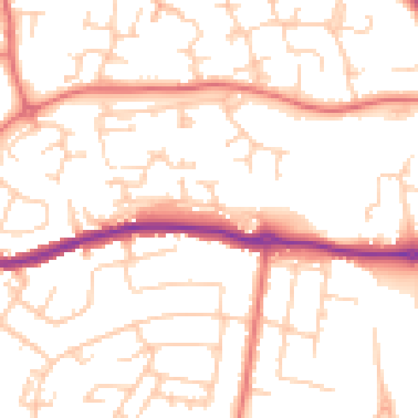
Daytime· 07:00 – 23:00
51.6dB

Night-time· 23:00 – 07:00
40.2dB