15 Beeston Terrace, Macclesfield, SK11 8TJ
About 15 Beeston Terrace
15 Beeston Terrace is a two-bedroom mid-terrace house in Macclesfield (SK11 8TJ). It has a recorded floor area of 65 m² (around 702 sq ft), construction records dating it to 1950-1966 and council tax band B. The latest certificate (July 2009) shows a C (score 76), near the top of the C band. The latest certificate is from July 2009, so improvements made since then won't be reflected. The home occupies a cul-de-sac position.
Last changed hands 10 years ago, in September 2016. At 65 m² it's 19.8% smaller than the typical home in the postcode (81 m² median across 4 EPCs). Across 2012–2016, sale prices on this property compounded at 4.3% per year. Today's modelled estimate of £188,000 is 44.6% above the 2016 sale price.
What this property has
Inside
- Bedrooms2
- Utility roomYes
Outside
- Private gardenYes
- Cul-de-sacYes
Everything you need to know about 15 Beeston Terrace
The true value, the hidden risks and the full sale history, in one report.
30-day money-back guarantee

The data behind every report


Energy performance
15 Beeston Terrace's EPC is over a decade old — improvements since won't be reflected.
EPC Expired
This certificate is over 10 years old and is no longer valid.Expired 05 Jul 2019
EPC Rating
Planning history
15 Beeston Terrace has no planning applications on record.
Notable planning nearby
3applications of note in the surrounding area
Sales history & valuation
15 Beeston Terrace valuation sits well clear of the typical sold price in this postcode.
£188,000
Modelled from EPC, postcode comparables and a sale-price growth of 4.3% per year over 4 years.
£130,000
Growth on file: 4.3% per year over 4 years.
Sales timeline
22 September 2016Most recent
£130,000
+19.8%over 4 years14 June 2012
£108,500
Median price across the last 5 sales in SK11 8TJ: £124,000 (2024–1998).
Versus other Beeston Terrace homes
15 Beeston Terrace outperforms the street on epc rating by a wide margin.
EPC Rating
76 (C)
Street avg 69 (C)
Floor Area
65 m²
Street avg 82 m²
CO₂ Emissions
2.2 t/year
Street avg 3.2 t/year
Habitable Rooms
3 rooms
Street avg 5 rooms
Everything you need to know about 15 Beeston Terrace
The true value, the hidden risks and the full sale history, in one report.
30-day money-back guarantee
The data behind every report
Similar properties nearby
The neighbourhood at a glance
Daytime road noise here sits well below conversation level — a quiet pocket of the postcode.
Crime
6/mo
Steady year-on-year across the wider district.
Nearest stop
0.1 km
Earlsway — bus stop.
Closest school
0.5 km
Broken Cross Primary Academy and Nursery. 16 schools nearby.
Go deeper on the local area
The full report breaks down crime, transport links, schools and air quality in depth.
Road noise across the postcode
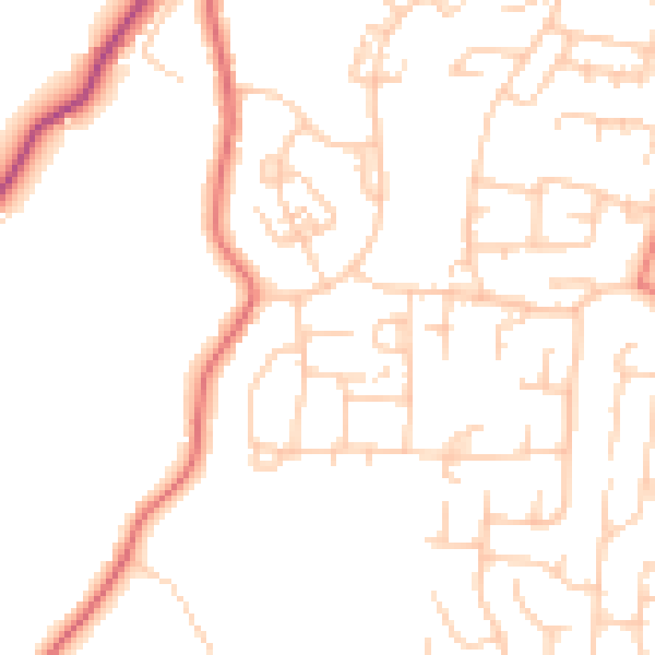
Daytime· 07:00 – 23:00
48.8dB

Night-time· 23:00 – 07:00
38.0dB