17 Bread Street, Macclesfield, SK11 8EY
About 17 Bread Street
17 Bread Street is a two-bedroom mid-terrace house in Macclesfield (SK11 8EY). It has a recorded floor area of 51 m² (around 549 sq ft), construction records dating it to before 1900 and council tax band A. The latest certificate (February 2024) shows a C (score 73). When first surveyed in February 2014 the rating was D, the property has climbed 1 band since. Between certificates, wall efficiency went from Very Poor to Poor, roof efficiency went from Good to Very Good and lighting went from Good to Very Good. The recommended improvements would push it to B (score 91). Other recorded features include a basement.
Across 2002–2014, sale prices on this property compounded at 2.3% per year. Today's modelled estimate of £168,000 sits 93.1% above the 2014 sale of £87,000. Its energy rating outperforms most of the postcode (better than 86% of similar EPCs). Last sold in June 2014, so it's been off the market for around 12 years.
What this property has
Inside
- Bedrooms2
- Bathrooms1
- Dining roomYes
- BasementYes
Outside
- Private gardenYes
Building
- RefurbishedYes
Everything you need to know about 17 Bread Street
The true value, the hidden risks and the full sale history, in one report.
30-day money-back guarantee

The data behind every report


Energy performance
EPC Rating
Property Improvements
Changes detected from historical EPC data
Wall insulation improved
Loft insulation upgraded to recommended levels
More low energy lighting installed
Planning history
17 Bread Street has no planning applications on record.
Notable planning nearby
3applications of note in the surrounding area
Sales history & valuation
17 Bread Street valuation sits well clear of the typical sold price in this postcode.
£168,000
Modelled from EPC, postcode comparables and a sale-price growth of 2.3% per year over 12 years.
£87,000
Growth on file: 2.3% per year over 12 years.
Sales timeline
5 June 2014Most recent
£87,000
+30.8%over 11 years24 October 2002
£66,500
Median price across the last 5 sales in SK11 8EY: £130,000 (2024–2017).
Nearby sales in SK11 8EY
Versus other Bread Street homes
17 Bread Street is notably below the street on price per m².
Price per m²
£1,706
Street avg £2,650
Floor Area
51 m²
Street avg 53 m²
Habitable Rooms
3 rooms
Street avg 3 rooms
CO₂ Emissions
1.9 t/year
Street avg 2.8 t/year
Everything you need to know about 17 Bread Street
The true value, the hidden risks and the full sale history, in one report.
30-day money-back guarantee
The data behind every report
Similar properties nearby
The neighbourhood at a glance
Crime
6/mo
Steady year-on-year across the wider district.
Nearest stop
0.2 km
Park Lane — bus stop.
Closest school
0.4 km
Parkroyal Community School. 19 schools nearby.
Go deeper on the local area
The full report breaks down crime, transport links, schools and air quality in depth.
Road noise across the postcode
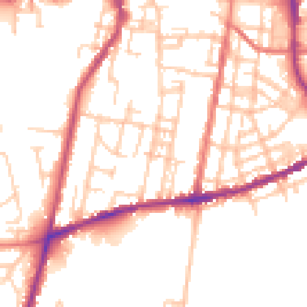
Daytime· 07:00 – 23:00
51.2dB

Night-time· 23:00 – 07:00
41.8dB