15 Avonside Way, Macclesfield, SK11 8BY
About 15 Avonside Way
15 Avonside Way is a semi-detached house in Macclesfield (SK11 8BY). It has a recorded floor area of 58 m² (around 624 sq ft), construction records dating it to 1967-1975 and council tax band C. The latest certificate (June 2017) shows a D (score 65), on the cusp of jumping into the C band. The recommended improvements would lift it to B (score 89), a 2-band jump.
Across 2017–2019, sale prices on this property compounded at 9.3% per year. Today's modelled estimate of £217,000 is 29.6% above the 2019 sale price. On a £-per-square-foot basis, the last sale (£268/sq ft) was about 34.2% above the typical sold price in the postcode. Last sale on file: £167,500 in February 2019.
Everything you need to know about 15 Avonside Way
The true value, the hidden risks and the full sale history, in one report.
30-day money-back guarantee

The data behind every report


Energy performance
Recommended upgrades on file would lift this property by multiple EPC bands.
EPC Rating
Planning history
15 Avonside Way has no planning applications on record.
Notable planning nearby
3applications of note in the surrounding area
Sales history & valuation
15 Avonside Way valuation sits well clear of the typical sold price in this postcode.
£217,000
Modelled from EPC, postcode comparables and a sale-price growth of 9.3% per year over 2 years.
£167,500
Growth on file: 9.3% per year over 2 years.
Sales timeline
28 February 2019Most recent
£167,500
+16.3%over 1 year20 June 2017
£144,000
Median price across the last 5 sales in SK11 8BY: £207,000 (2025–2021).
Nearby sales in SK11 8BY
28 Avonside Way, Macclesfield, SK11 8BY
Sold Sept 2025
£200,00018 Avonside Way, Macclesfield, SK11 8BY
Sold Nov 2024
£265,00017a, Avonside Way, Macclesfield, SK11 8BY
Sold May 2024
£220,00017 Avonside Way, Macclesfield, SK11 8BY
Sold Sept 2023
£207,00034 Avonside Way, Macclesfield, SK11 8BY
Sold Apr 2021
£170,000
Versus other Avonside Way homes
Habitable Rooms for 15 Avonside Way lags the street by a wide margin.
Price per m²
£2,888
Street avg £2,505
Floor Area
58 m²
Street avg 70 m²
Habitable Rooms
3 rooms
Street avg 4 rooms
CO₂ Emissions
3.0 t/year
Street avg 4.0 t/year
Everything you need to know about 15 Avonside Way
The true value, the hidden risks and the full sale history, in one report.
30-day money-back guarantee
The data behind every report
Similar properties nearby
The neighbourhood at a glance
Daytime road noise here sits well below conversation level — a quiet pocket of the postcode.
Crime
6/mo
Steady year-on-year across the wider district.
Nearest stop
0.2 km
Parkgate Road — bus stop.
Closest school
0.2 km
Ash Grove Academy. 16 schools nearby.
Go deeper on the local area
The full report breaks down crime, transport links, schools and air quality in depth.
Road noise across the postcode
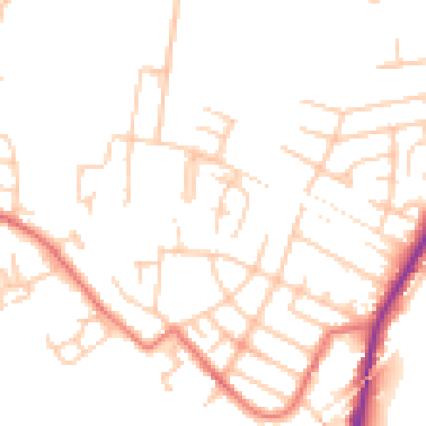
Daytime· 07:00 – 23:00
48.7dB

Night-time· 23:00 – 07:00
39.0dB