15 Allen Street, Macclesfield, SK11 7AB
About 15 Allen Street
15 Allen Street is a two-bedroom mid-terrace house in Macclesfield (SK11 7AB). It has a recorded floor area of 48 m² (around 517 sq ft), construction records dating it to 1900-1929 and council tax band A. The latest certificate (March 2022) shows a C (score 69), just inside the C band. The recommended improvements would push it to B (score 90). Period features are noted in the property record. The home occupies a cul-de-sac position.
Held since August 2004 — that's 22 years off the open market, well above the local norm. Across 2002–2004, sale prices on this property compounded at 26.5% per year. Today's modelled estimate of £161,000 sits 67.7% above the 2004 sale of £96,000.
What this property has
Inside
- Bedrooms2
- Dining roomYes
- FireplaceYes
Outside
- Private gardenRear
- ParkingOff road
- Cul-de-sacYes
Building
- Period featuresYes
Everything you need to know about 15 Allen Street
The true value, the hidden risks and the full sale history, in one report.
30-day money-back guarantee

The data behind every report


Energy performance
EPC Rating
Planning history
15 Allen Street has no planning applications on record.
Notable planning nearby
3applications of note in the surrounding area
We flagged 2 things worth checking at 15 Allen Street
Independent checks surfaced things a buyer would want to understand before offering. The report explains each one in full, with the underlying data and what to ask.
- Larger development activity nearby
- Recent ownership pattern worth a look
30-day money-back guarantee
Sales history & valuation
15 Allen Street changed hands twice within eighteen months — unusual for the area.
£161,000
Modelled from EPC, postcode comparables and a sale-price growth of 26.5% per year over 2 years.
£96,000
Growth on file: 26.5% per year over 2 years.
Sales timeline
16 August 2004Most recent
£96,000
+20.0%over 9 months20 November 2003
£80,000
+42.9%over 1 year2 May 2002
£56,000
Median price across the last 5 sales in SK11 7AB: £110,000 (2025–2020).
Nearby sales in SK11 7AB
Versus other Allen Street homes
15 Allen Street outperforms the street on years held by a wide margin.
Price per m²
£2,000
Street avg £2,484
Floor Area
48 m²
Street avg 47 m²
Habitable Rooms
4 rooms
Street avg 3 rooms
CO₂ Emissions
2.2 t/year
Street avg 2.4 t/year
Everything you need to know about 15 Allen Street
The true value, the hidden risks and the full sale history, in one report.
30-day money-back guarantee
The data behind every report
Similar properties nearby
The neighbourhood at a glance
Rail-style transport is unusually close for this postcode.
Crime
6/mo
Steady year-on-year across the wider district.
Nearest stop
0.1 km
Park Green — bus stop.
Closest school
0.7 km
Puss Bank School and Nursery. 17 schools nearby.
Go deeper on the local area
The full report breaks down crime, transport links, schools and air quality in depth.
Road noise across the postcode
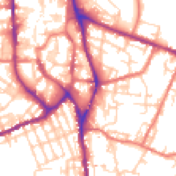
Daytime· 07:00 – 23:00
55.4dB

Night-time· 23:00 – 07:00
45.1dB