13 Allen Street, Macclesfield, SK11 7AB
About 13 Allen Street
13 Allen Street is a two-bedroom mid-terrace house in Macclesfield (SK11 7AB). It has a recorded floor area of 49 m² (around 527 sq ft), construction records dating it to before 1900 and council tax band A. The latest certificate (May 2023) shows a D (score 59), a step below the typical UK home. The recommended improvements would lift it to B (score 88), a 2-band jump.
Across 1998–2023, sale prices on this property compounded at 4.6% per year. Today's modelled estimate of £150,000 is 36.4% above the 2023 sale price. On a £-per-square-foot basis, the last sale (£209/sq ft) was about 16% above the typical sold price in the postcode. Sold September 2023 for £110,000.
What this property has
Inside
- Bedrooms2
- Bathrooms1
Outside
- Private gardenRear
Building
- RefurbishedYes
Everything you need to know about 13 Allen Street
The true value, the hidden risks and the full sale history, in one report.
30-day money-back guarantee

The data behind every report


Energy performance
Recommended upgrades on file would lift this property by multiple EPC bands.
EPC Rating
Planning history
13 Allen Street has no planning applications on record.
Notable planning nearby
3applications of note in the surrounding area
We flagged 1 thing worth checking at 13 Allen Street
Independent checks surfaced things a buyer would want to understand before offering. The report explains each one in full, with the underlying data and what to ask.
- Larger development activity nearby
30-day money-back guarantee
Sales history & valuation
13 Allen Street has more than tripled in price since its earliest registered sale in 1998.
£150,000
Modelled from EPC, postcode comparables and a sale-price growth of 4.6% per year over 25 years.
£110,000
Growth on file: 4.6% per year over 25 years.
Sales timeline
21 September 2023Most recent
£110,000
+205.6%over 25 years25 August 1998
£36,000
Median price across the last 5 sales in SK11 7AB: £110,000 (2025–2018).
Nearby sales in SK11 7AB
Versus other Allen Street homes
On epc rating, 13 Allen Street runs well behind the street norm.
Price per m²
£2,245
Street avg £2,453
Floor Area
49 m²
Street avg 47 m²
Habitable Rooms
4 rooms
Street avg 3 rooms
CO₂ Emissions
3.0 t/year
Street avg 2.3 t/year
Everything you need to know about 13 Allen Street
The true value, the hidden risks and the full sale history, in one report.
30-day money-back guarantee
The data behind every report
Similar properties nearby
The neighbourhood at a glance
Rail-style transport is unusually close for this postcode.
Crime
6/mo
Steady year-on-year across the wider district.
Nearest stop
0.1 km
Park Green — bus stop.
Closest school
0.7 km
Puss Bank School and Nursery. 17 schools nearby.
Go deeper on the local area
The full report breaks down crime, transport links, schools and air quality in depth.
Road noise across the postcode
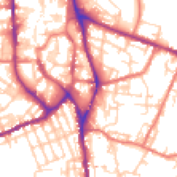
Daytime· 07:00 – 23:00
55.4dB

Night-time· 23:00 – 07:00
45.1dB