15 St Johns Road, Macclesfield, SK11 6XW
About 15 St Johns Road
15 St Johns Road is a three-bedroom mid-terrace house in Macclesfield (SK11 6XW). It has a recorded floor area of 73 m² (around 786 sq ft), construction records dating it to 2003-2006 and council tax band C. The latest certificate (August 2009) shows a C (score 78), near the top of the C band. The recommended improvements would push it to B (score 82). The latest certificate is from August 2009, so improvements made since then won't be reflected. Other recorded features include a basement. The home occupies a cul-de-sac position.
Today's modelled estimate of £216,000 is 44% above the 2018 sale price. On a £-per-square-foot basis, the last sale (£191/sq ft) was about 25.1% above the typical sold price in the postcode. On the market in January 2018 and unlisted since — roughly 8 years.
What this property has
Inside
- Bedrooms3
- Bathrooms1
- BasementYes
Outside
- ParkingOff road
- Cul-de-sacYes
Everything you need to know about 15 St Johns Road
The true value, the hidden risks and the full sale history, in one report.
30-day money-back guarantee

The data behind every report


Energy performance
15 St Johns Road's EPC is over a decade old — improvements since won't be reflected.
EPC Expired
This certificate is over 10 years old and is no longer valid.Expired 20 Aug 2019
EPC Rating
Planning history
15 St Johns Road has no planning applications on record.
Notable planning nearby
3applications of note in the surrounding area
We flagged 1 thing worth checking at 15 St Johns Road
Independent checks surfaced things a buyer would want to understand before offering. The report explains each one in full, with the underlying data and what to ask.
- Larger development activity nearby
30-day money-back guarantee
Sales history & valuation
15 St Johns Road's sale-price growth has lagged the wider UK trajectory across its history on file.
£216,000
Modelled from EPC, postcode comparables and a sale-price growth of 0.2% per year over 14 years.
£150,000
Growth on file: 0.2% per year over 14 years.
Sales timeline
5 January 2018Most recent
£150,000
+3.4%over 13 years15 April 2004
£145,000
Median price across the last 5 sales in SK11 6XW: £195,000 (2022–2019).
Nearby sales in SK11 6XW
2 St Johns Road, Macclesfield, SK11 6XW
Sold Oct 2022
£207,50023 St Johns Road, Macclesfield, SK11 6XW
Sold Jun 2022
£260,0006 St Johns Road, Macclesfield, SK11 6XW
Sold Apr 2020
£195,0001 St Johns Road, Macclesfield, SK11 6XW
Sold Aug 2019
£88,00025 St Johns Road, Macclesfield, SK11 6XW
Sold Feb 2018
£135,000
Versus other St Johns Road homes
EPC Rating for 15 St Johns Road runs comfortably ahead of the street norm.
Price per m²
£2,055
Street avg £1,820
Floor Area
73 m²
Street avg 93 m²
Habitable Rooms
5 rooms
Street avg 5 rooms
CO₂ Emissions
2.1 t/year
Street avg 4.4 t/year
Everything you need to know about 15 St Johns Road
The true value, the hidden risks and the full sale history, in one report.
30-day money-back guarantee
The data behind every report
Similar properties nearby
1 Meadowside, Bridge Street
SK11 6EP
1 Stanley Place
SK11 6JJ
1 Blackshaw Street
SK11 6RR
1 Barton Street
SK11 6RX
1 Great Queen Street
SK11 6EZ
1 South Park Road
SK11 6RP
1 Shaw Street
SK11 6QY
1 Brown Street
SK11 6SA
The neighbourhood at a glance
Rail-style transport is unusually close for this postcode.
Crime
6/mo
Steady year-on-year across the wider district.
Nearest stop
0.2 km
Brown Street — bus stop.
Closest school
0.4 km
Parkroyal Community School. 18 schools nearby.
Go deeper on the local area
The full report breaks down crime, transport links, schools and air quality in depth.
Road noise across the postcode
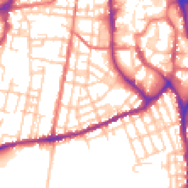
Daytime· 07:00 – 23:00
53.9dB

Night-time· 23:00 – 07:00
43.6dB