10 Pinfold Street, Macclesfield, SK11 6HA
About 10 Pinfold Street
10 Pinfold Street is a mid-terrace house in Macclesfield (SK11 6HA). It has a recorded floor area of 52 m² (around 560 sq ft), construction records dating it to before 1900 and council tax band A. The latest certificate (May 2014) shows a C (score 69), just inside the C band. The recommended improvements would push it to B (score 90). The latest certificate is from May 2014, so improvements made since then won't be reflected.
Sold April 2024 for £137,000. Across the public record there are 6 sales, relatively high churn for a single property. Its energy rating outperforms most of the postcode (better than 74% of similar EPCs). Across 2002–2024, sale prices on this property compounded at 4.5% per year. Today's modelled estimate of £153,000 is 11.7% above the 2024 sale price. On a £-per-square-foot basis, the last sale (£245/sq ft) was about 99.8% above the typical sold price in the postcode.
Everything you need to know about 10 Pinfold Street
The true value, the hidden risks and the full sale history, in one report.
30-day money-back guarantee

The data behind every report


Energy performance
10 Pinfold Street's EPC is over a decade old — improvements since won't be reflected.
EPC Expired
This certificate is over 10 years old and is no longer valid.Expired 22 May 2024
EPC Rating
Planning history
10 Pinfold Street has no planning applications on record.
Notable planning nearby
3applications of note in the surrounding area
We flagged 1 thing worth checking at 10 Pinfold Street
Independent checks surfaced things a buyer would want to understand before offering. The report explains each one in full, with the underlying data and what to ask.
- Larger development activity nearby
30-day money-back guarantee
Sales history & valuation
10 Pinfold Street has more than doubled in price since the earliest registered sale in 2002.
£153,000
Modelled from EPC, postcode comparables and a sale-price growth of 4.5% per year over 22 years.
£137,000
Growth on file: 4.5% per year over 22 years.
Sales timeline
18 April 2024Most recent
£137,000
+1.5%over 2 years20 December 2021
£135,000
+22.7%over 4 years14 September 2017
£110,000
+22.2%over 2 years4 May 2015
£90,000
-21.7%over 5 years11 December 2009
£115,000
+119.0%over 7 years26 May 2002
£52,500
Median price across the last 5 sales in SK11 6HA: £100,000 (2024–2017).
Nearby sales in SK11 6HA
14a, Pinfold Street, Macclesfield, SK11 6HA
Sold Oct 2024
£485,00050 Pinfold Street, Macclesfield, SK11 6HA
Sold Nov 2021
£100,00012 Pinfold Street, Macclesfield, SK11 6HA
Sold Oct 2021
£126,00054 Pinfold Street, Macclesfield, SK11 6HA
Sold Aug 2017
£38,000Foundry Court, Apartment G, Pinfold Street, Macclesfield, SK11 6HA
Sold Feb 2017
£93,000
Versus other Pinfold Street homes
On years held, 10 Pinfold Street runs well behind the street norm.
Price per m²
£2,635
Street avg £2,074
Floor Area
52 m²
Street avg 72 m²
Habitable Rooms
3 rooms
Street avg 4 rooms
CO₂ Emissions
2.3 t/year
Street avg 3.7 t/year
Everything you need to know about 10 Pinfold Street
The true value, the hidden risks and the full sale history, in one report.
30-day money-back guarantee
The data behind every report
Similar properties nearby
The neighbourhood at a glance
Rail-style transport is unusually close for this postcode.
Crime
6/mo
Steady year-on-year across the wider district.
Nearest stop
0.1 km
Great Queen Street — bus stop.
Closest school
0.3 km
Parkroyal Community School. 19 schools nearby.
Go deeper on the local area
The full report breaks down crime, transport links, schools and air quality in depth.
Road noise across the postcode
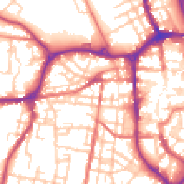
Daytime· 07:00 – 23:00
56.0dB

Night-time· 23:00 – 07:00
45.6dB