10 Banks Lane, Stockport, SK1 4JT
About 10 Banks Lane
10 Banks Lane is a mid-terrace house in Stockport (SK1 4JT). It has a recorded floor area of 60 m² (around 646 sq ft), construction records dating it to before 1900 and council tax band B. The latest certificate (June 2020) shows a D (score 61), on the cusp of jumping into the C band. The recommended improvements would lift it to B (score 84), a 2-band jump.
At 60 m² it sits well below the postcode median (97 m² across 16 EPCs), making it one of the more compact homes locally.
Everything you need to know about 10 Banks Lane
The true value, the hidden risks and the full sale history, in one report.
Pick your report · every report is £14.99
One time fee only - money back guarantee

The data behind every report


Energy performance
Recommended upgrades on file would lift this property by multiple EPC bands.
EPC Rating
Get a survey for this property
Level 3 Building Survey
Because the property was built before 1919 and has solid (non-cavity) walls, we believe a Level 3 building survey should be considered.
From £820 · Includes VAT
Planning history
10 Banks Lane has no planning applications on record.
A planning report still maps activity across the surrounding area and reads this property's extension & conversion potential.
Sales history & valuation
10 Banks Lane has no Land Registry sales on file, suggesting it has stayed in the same hands since registration began.
£199,000
Modelled from EPC, postcode comparables.
No sales recorded with HM Land Registry
That can mean the property has never traded since the registry began publishing in 1995, was a new build that hasn't been registered yet, or is held in the same hands long-term.
Median price across the last 5 sales in SK1 4JT: £265,000 (2024–2022).
Versus other Banks Lane homes
10 Banks Lane is notably below the street on floor area.
EPC Rating
61 (D)
Street avg 61 (D)
Floor Area
60 m²
Street avg 106 m²
CO₂ Emissions
3.1 t/year
Street avg 5.0 t/year
Habitable Rooms
4 rooms
Street avg 6 rooms
Everything you need to know about 10 Banks Lane
The true value, the hidden risks and the full sale history, in one report.
Pick your report · every report is £14.99
One time fee only - money back guarantee
The data behind every report
Similar properties nearby
The neighbourhood at a glance
Crime
1/mo
Steady year-on-year across the wider district.
Nearest stop
0.1 km
Harold Street — bus stop.
Closest school
0.3 km
Banks Lane Infant School. 36 schools nearby.
Go deeper on the local area
A Local Area report breaks down crime, transport links, schools and air quality in depth.
Road noise across the postcode
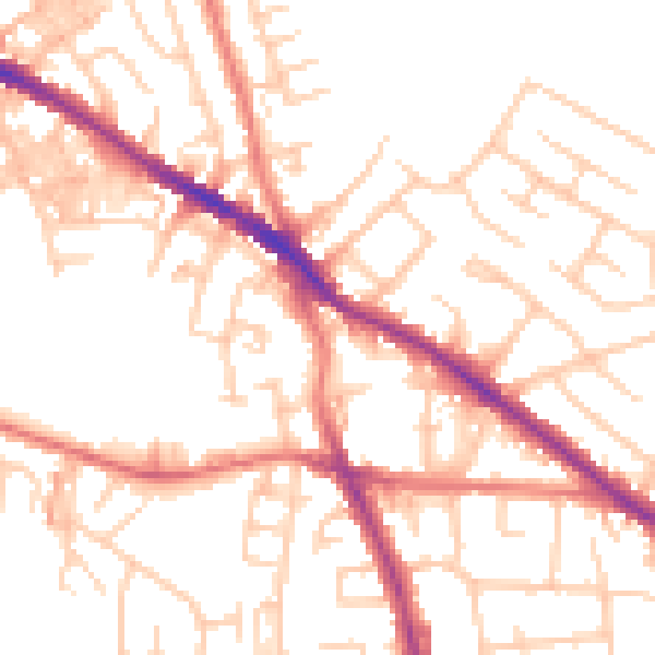
Daytime· 07:00 – 23:00
52.2dB

Night-time· 23:00 – 07:00
41.2dB