4 Brookside, Orwell, Royston, SG8 5TQ
About 4 Brookside
A plain-English summary derived from public records, EPC certificates, sold prices and local data.
4 Brookside is a four-bedroom detached house in Orwell, Royston, Royston (SG8 5TQ). It has a recorded floor area of 135 m² (around 1453 sq ft), construction records dating it to 1991-1995 and council tax band E. The latest certificate (June 2014) shows a D (score 60), on the cusp of jumping into the C band. The recommended improvements would push it to C (score 80). Main heating runs on oil. The latest certificate is from June 2014, so improvements made since then won't be reflected. Other recorded features include a conservatory.
Sale prices here have outpaced England HPI: 3.8% per year against 0% for the wider region. On a £-per-square-foot basis, the last sale (£373/sq ft) was about 89.3% above the typical sold price in the postcode. At 135 m² the property is well over the postcode median (63 m² across 31 EPCs), placing it in the larger end of the local stock. Most recent transfer: October 2021 at £542,500. That sale was during the post-pandemic price surge, when transactions cleared materially above pre-2020 trend.
Before you offer
Know exactly what you're buying at 4 Brookside
Before you offer, see what the listing won't tell you, the true value, the red flags and the full history.
£9.99£14.99
Launch offer · save £5
What this property has
Pulled from EPC certificates, claim submissions and our property model. Empty categories are hidden — we only show what's known.
Inside
- Bedrooms4
- Bathrooms2
- Dining roomYes
- EnsuiteYes
Energy performance
Every EPC certificate filed against this property — current rating, recorded improvements, and where there's headroom to reach a higher band.
4 Brookside's carbon output runs well above what efficient homes in the postcode produce.
EPC Expired
This certificate is over 10 years old and is no longer valid.Expired 07 Jun 2024
Planning history
Applications and permits filed against 4 Brookside, Orwell, Royston, SG8 5TQ, sourced from the PlanIt planning register.
4 Brookside has no planning applications on record.
The full report still covers planning activity across the surrounding area.
Sales history & valuation
Recorded transactions, our model's current estimate, and a quick read on what neighbouring properties have sold for.
The latest sale landed in the post-pandemic price surge — useful context when reading the figure.
Current estimate
See how we calculated this£535,000
Modelled from EPC, postcode comparables and a sale-price growth of 3.8% per year over 7 years.
Last sold (2021)
£542,500
Growth on file: 3.8% per year over 7 years.
Sales timeline
Before you offerLaunch offer · save £5
Everything we know about 4 Brookside, in one report
What it's really worth, what could be wrong, and the planning, sales and area data in full.
- Am I paying too much?
- Is something wrong with it?
Versus other Brookside homes
Four headline reads against 31 similar houses on this street, drawn from the latest EPC and Land Registry data.
On floor area, 4 Brookside stands well clear of the street.
Price per m²
£4,019
Street avg £3,517
Floor Area
135 m²
Street avg 80 m²
Habitable Rooms
7 rooms
Street avg 4 rooms
Similar properties nearby
A handful of close matches in the same postcode area, ranked by likeness on bedrooms, type and floor area.
The neighbourhood at a glance
A condensed read of the local area. Each tile links through to the full breakdown on the Royston district page.
Daytime road noise here sits well below conversation level — a quiet pocket of the postcode.
Crime
3/mo
Steady year-on-year across the wider district.
Closest school
0.2 km
Road noise across the postcode
Modelled day and night-time noise levels around SG8 5TQ from Defra's strategic mapping. The pin marks this postcode's centroid.
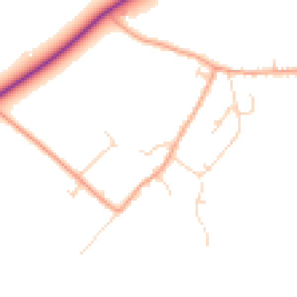
Daytime· 07:00 – 23:00
46.2dB

Everything within walking distance
Schools, transport stops and scenic spots near this property — 1 points of interest in total.
Common questions
The questions buyers, sellers and homeowners most often ask about 4 Brookside, Orwell, Royston, SG8 5TQ. Each answer is also embedded as structured data for search engines.
