29 Charding Crescent, Royston, SG8 5HB
About 29 Charding Crescent
A plain-English summary derived from public records, EPC certificates, sold prices and local data.
29 Charding Crescent is a three-bedroom mid-terrace house in Royston (SG8 5HB). It has a recorded floor area of 95 m² (around 1023 sq ft), construction records dating it to 2003-2006 and council tax band C. The latest certificate (June 2020) shows a C (score 74). The rating has held steady at C across 2 certificates since January 2009. Between certificates, window efficiency went from Average to Good and lighting went from Very Poor to Good; while roof efficiency dropped from Good to Average. The recommended improvements would push it to B (score 87).
Untraded for 23 years, with the last transfer in August 2003. Today's modelled estimate of £379,000 sits 107.7% above the 2003 sale of £182,500. On a £-per-square-foot basis, the last sale (£178/sq ft) was about 15.1% below the postcode norm.
Before you offer
Know exactly what you're buying at 29 Charding Crescent
Before you offer, see what the listing won't tell you, the true value, the red flags and the full history.
£9.99£14.99
Launch offer · save £5
What this property has
Pulled from EPC certificates, claim submissions and our property model. Empty categories are hidden — we only show what's known.
Inside
- Bedrooms3
- Dining roomYes
- CloakroomYes
- EnsuiteYes
Energy performance
Every EPC certificate filed against this property — current rating, recorded improvements, and where there's headroom to reach a higher band.
Current Certificate(1 of 2)
Jun 2020
EPC Rating
A
B
C
C74
D
E
F
G
Main Heating
Gas
Main Fuel
Gas
Hot Water
Good
Windows
Good
CO2 Emissions
2.7 t/year
Occupancy
Rented
Planning history
Applications and permits filed against 29 Charding Crescent, Royston, SG8 5HB, sourced from the PlanIt planning register.
29 Charding Crescent has no planning applications on record.
The full report still covers planning activity across the surrounding area.
Sales history & valuation
Recorded transactions, our model's current estimate, and a quick read on what neighbouring properties have sold for.
29 Charding Crescent valuation sits well clear of the typical sold price in this postcode.
Current estimate
See how we calculated this£379,000
Modelled from EPC, postcode comparables.
Last sold (2003)
£182,500
Recorded with HM Land Registry.
Sales timeline
Before you offerLaunch offer · save £5
Everything we know about 29 Charding Crescent, in one report
What it's really worth, what could be wrong, and the planning, sales and area data in full.
- Am I paying too much?
- Is something wrong with it?
Versus other Charding Crescent homes
Four headline reads against 15 similar houses on this street, drawn from the latest EPC and Land Registry data.
Years Held for 29 Charding Crescent runs comfortably ahead of the street norm.
Price per m²
£1,921
Street avg £3,197
Floor Area
95 m²
Street avg 100 m²
Habitable Rooms
4 rooms
Similar properties nearby
A handful of close matches in the same postcode area, ranked by likeness on bedrooms, type and floor area.
The neighbourhood at a glance
A condensed read of the local area. Each tile links through to the full breakdown on the Royston district page.
Rail-style transport is unusually close for this postcode.
Crime
3/mo
Steady year-on-year across the wider district.
Nearest stop
0.2 km
Royston Rail Station — railway station.
Road noise across the postcode
Modelled day and night-time noise levels around SG8 5HB from Defra's strategic mapping. The pin marks this postcode's centroid.
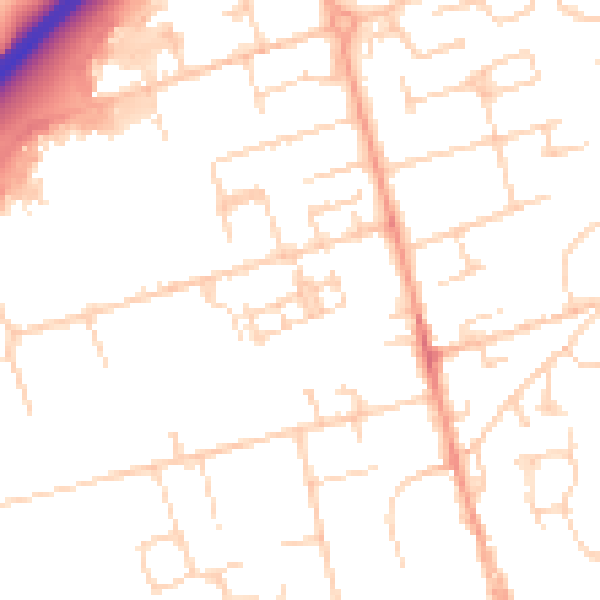
Daytime· 07:00 – 23:00
50.2dB

Everything within walking distance
Schools, transport stops and scenic spots near this property — 37 points of interest in total.
Common questions
The questions buyers, sellers and homeowners most often ask about 29 Charding Crescent, Royston, SG8 5HB. Each answer is also embedded as structured data for search engines.
