Are you a property professional?Get qualified leads from motivated homeowners.
Get started2 Beech Close, Ware, SG12 9NQ
3 planning records
About 2 Beech Close
A plain-English summary derived from public records, EPC certificates, sold prices and local data.
2 Beech Close is a detached house in Ware (SG12 9NQ). It has a recorded floor area of 162 m² (around 1749 sq ft), construction records dating it to 1950-1966 and council tax band F. The latest certificate (September 2011) shows a D (score 59), a step below the typical UK home. The recommended improvements would push it to C (score 71). The latest certificate is from September 2011, so improvements made since then won't be reflected.
Sale prices here have outpaced England HPI: 4.7% per year against 0% for the wider region. Today's modelled estimate of £1,035,000 is 38% above the 2012 sale price. 3 planning records sit against the property, 2 approved, 1 refused. Past consents include an extension, meaningful when judging how the property has evolved. Last sold in February 2012, so it's been off the market for around 14 years.
Energy performance
Every EPC certificate filed against this property — current rating, recorded improvements, and where there's headroom to reach a higher band.
2 Beech Close's carbon output runs well above what efficient homes in the postcode produce.
EPC Expired
This certificate is over 10 years old and is no longer valid.Expired 26 Sept 2021
Planning history
Applications and permits filed against 2 Beech Close, Ware, SG12 9NQ, sourced from the PlanIt planning register.
2 Beech Close has an approved single-storey rear extension on the planning record.
- Mar 2020ExtensionAmendmentGrant NMA
Extension: Single storey · Side of property
A non-material amendment to the planning permission 3/18/0947/HH. (First floor side extension and alterations to conservatory roof). Addition of rooflight to the first floor roof to front and rear.
Sales history & valuation
Recorded transactions, our model's current estimate, and a quick read on what neighbouring properties have sold for.
Current estimate
See how we calculated this£1,035,000
Modelled from EPC, postcode comparables and a sale-price growth of 4.7% per year over 5 years.
Last sold (2012)
£750,000
Growth on file: 4.7% per year over 5 years.
Sales timeline
Full property reportLaunch offer · 33% off
The complete analysis of 2 Beech Close, Ware, SG12 9NQ
Everything we know about this property, compiled into one in-depth, downloadable report.
Detailed AI analysis
Similar properties nearby
A handful of close matches in the same postcode area, ranked by likeness on bedrooms, type and floor area.
The neighbourhood at a glance
A condensed read of the local area. Each tile links through to the full breakdown on the Ware district page.
Rail-style transport is unusually close for this postcode.
Crime
4/mo
Steady year-on-year across the wider district.
Nearest stop
0.2 km
School — bus stop.
Road noise across the postcode
Modelled day and night-time noise levels around SG12 9NQ from Defra's strategic mapping. The pin marks this postcode's centroid.
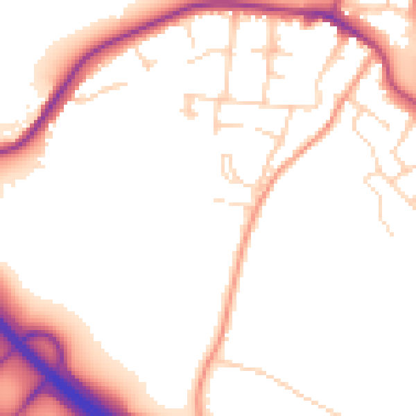
Daytime· 07:00 – 23:00
52.2dB

Everything within walking distance
Schools, transport stops and scenic spots near this property — 46 points of interest in total.
Common questions
The questions buyers, sellers and homeowners most often ask about 2 Beech Close, Ware, SG12 9NQ. Each answer is also embedded as structured data for search engines.