Are you a property professional?Get qualified leads from motivated homeowners.
Get started12a, Flat 12, High Street, Ware, SG12 9BX
About 12a
A plain-English summary derived from public records, EPC certificates, sold prices and local data.
12a is a two-bedroom property in Ware (SG12 9BX). It has a recorded floor area of 70 m² (around 754 sq ft) and council tax band D. The latest certificate (June 2009) shows a C (score 70). Main heating runs on electricity: electricity, unspecified tariff. The latest certificate is from June 2009, so improvements made since then won't be reflected.
At 70 m² the property is well over the postcode median (49 m² across 8 EPCs), placing it in the larger end of the local stock. Today's modelled estimate of £291,000 sits 64.4% above the 2012 sale of £177,000. On a £-per-square-foot basis, the last sale (£235/sq ft) was about 19.6% below the postcode norm. Last changed hands 14 years ago, in February 2012.
What this property has
Pulled from EPC certificates, claim submissions and our property model. Empty categories are hidden — we only show what's known.
Inside
- Bedrooms2
Building
- RefurbishedYes
Energy performance
Every EPC certificate filed against this property — current rating, recorded improvements, and where there's headroom to reach a higher band.
12a's EPC is over a decade old — improvements since won't be reflected.
EPC Expired
This certificate is over 10 years old and is no longer valid.Expired 16 Jun 2019
Sales history & valuation
Recorded transactions, our model's current estimate, and a quick read on what neighbouring properties have sold for.
12a valuation sits well clear of the typical sold price in this postcode.
Current estimate
See how we calculated this£291,000
Modelled from EPC, postcode comparables.
Last sold (2012)
£177,000
Recorded with HM Land Registry.
Sales timeline
Full property reportLaunch offer · 33% off
The complete analysis of 12a, Flat 12, High Street, Ware, SG12 9BX
Everything we know about this property, compiled into one in-depth, downloadable report.
Detailed AI analysis
Versus other High Street homes
Four headline reads against 8 similar flats on this street, drawn from the latest EPC and Land Registry data.
On floor area, 12a stands well clear of the street.
Price per m²
£2,528
Street avg £3,125
Floor Area
70 m²
Street avg 50 m²
CO₂ Emissions
2.2 t/year
Street avg 3.1 t/year
Similar properties nearby
A handful of close matches in the same postcode area, ranked by likeness on bedrooms, type and floor area.
The neighbourhood at a glance
A condensed read of the local area. Each tile links through to the full breakdown on the Ware district page.
Rail-style transport is unusually close for this postcode.
Crime
4/mo
Steady year-on-year across the wider district.
Nearest stop
0.1 km
Bowling Road — bus stop.
Road noise across the postcode
Modelled day and night-time noise levels around SG12 9BX from Defra's strategic mapping. The pin marks this postcode's centroid.
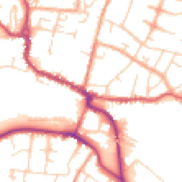
Daytime· 07:00 – 23:00
51.6dB

Everything within walking distance
Schools, transport stops and scenic spots near this property — 43 points of interest in total.
Common questions
The questions buyers, sellers and homeowners most often ask about 12a, Flat 12, High Street, Ware, SG12 9BX. Each answer is also embedded as structured data for search engines.