15 Finbracks, Stevenage, SG1 6HB
About 15 Finbracks
15 Finbracks is a one-bedroom mid-terrace house in Stevenage (SG1 6HB). It has a recorded floor area of 123 m² (around 1324 sq ft), construction records dating it to 1996-2002 and council tax band E. The latest certificate (November 2024) shows a C (score 75), near the top of the C band. Earlier certificates rated it B (October 2014); the latest reading is one band lower. Between certificates, window efficiency dropped from Good to Average. The recommended improvements would push it to B (score 85).
Today's modelled estimate of £449,000 sits 50.6% above the 2015 sale of £298,127. Last sold in June 2015, so it's been off the market for around 11 years.
Know exactly what you're buying at 15 Finbracks
Before you offer, see what the listing won't tell you, the true value, the red flags and the full history.
Valuation
against the asking price
Risks
planning & flood
Sold prices
similar homes nearby
Trends
the local market
What this property has
Inside
- Bedrooms1
Energy performance
EPC Rating
Planning history
15 Finbracks has no planning applications on record.
Notable planning nearby
1applications of note in the surrounding area
Sales history & valuation
15 Finbracks valuation sits well clear of the typical sold price in this postcode.
£449,000
Modelled from EPC, postcode comparables and a sale-price growth of -0.1% per year over 8 years.
£298,127
Growth on file: -0.1% per year over 8 years.
Sales timeline
25 June 2015Most recent
£298,127
-0.6%over 8 years30 May 2007
£299,950
Median price across the last 5 sales in SG1 6HB: £400,000 (2025–2024).
Everything we know about 15 Finbracks, in one report
What it's really worth, what could be wrong, and the planning, sales and area data in full.
- Am I paying too much?
- Is something wrong with it?
- Is the agent's story true?
- Will it hold its value?

Versus other Finbracks homes
On epc rating, 15 Finbracks runs well behind the street norm.
Price per m²
£2,424
Street avg £3,077
Floor Area
123 m²
Street avg 129 m²
Habitable Rooms
7 rooms
Street avg 6 rooms
CO₂ Emissions
3.3 t/year
Street avg 3.0 t/year
Similar properties nearby
The neighbourhood at a glance
Reported crime in the wider district is trending notably upward year-on-year.
Crime
20/mo
Rising year-on-year across the wider district.
Nearest stop
0.5 km
The Beacons — bus stop.
Closest school
0.6 km
Round Diamond Primary School. 16 schools nearby.
Go deeper on the local area
The full report breaks down crime, transport links, schools and air quality in depth.
Road noise across the postcode
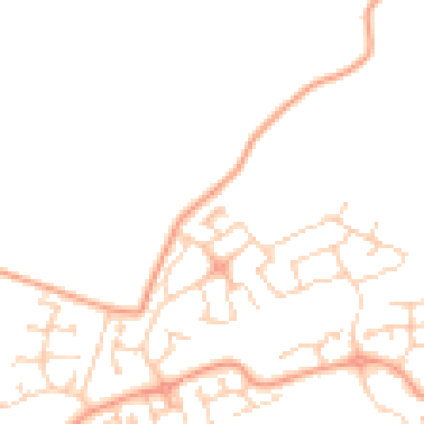
Daytime· 07:00 – 23:00
46.0dB

Night-time· 23:00 – 07:00
36.8dB