24a, Sutcliffe Close, Stevenage, SG1 5PJ
About 24a
24a is a property in Stevenage (SG1 5PJ). The latest certificate (February 2009) shows a C (score 77), near the top of the C band. The latest certificate is from February 2009, so improvements made since then won't be reflected.
Know exactly what you're buying at 24a
Before you offer, see what the listing won't tell you, the true value, the red flags and the full history.
Already flagged here
Valuation
against the asking price
Risks
planning & flood
Sold prices
similar homes nearby
Trends
the local market
Energy performance
24a's EPC is over a decade old — improvements since won't be reflected.
EPC Expired
This certificate is over 10 years old and is no longer valid.Expired 12 Feb 2019
EPC Rating
Planning history
24a has no planning applications on record.
Notable planning nearby
8applications of note in the surrounding area
We flagged 2 things worth checking at 24a
Independent checks surfaced things a buyer would want to understand before offering. The report explains each one in full, with the underlying data and what to ask.
- Signs of HMO activity in the area
- Larger development activity nearby
30-day money-back guarantee
Sales history & valuation
24a has no Land Registry sales on file, suggesting it has stayed in the same hands since registration began.
No sales recorded with HM Land Registry
That can mean the property has never traded since the registry began publishing in 1995, was a new build that hasn't been registered yet, or is held in the same hands long-term.
Median price across the last 5 sales in SG1 5PJ: £78,750 (2024–2016).
Nearby sales in SG1 5PJ
Everything we know about 24a, in one report
What it's really worth, what could be wrong, and the planning, sales and area data in full.
What we flagged
- Signs of HMO activity in the area
- Larger development activity nearby

Versus other Sutcliffe Close homes
Floor Area for 24a lags the street by a wide margin.
EPC Rating
77 (C)
Street avg 75 (C)
Floor Area
0 m²
Street avg 40 m²
CO₂ Emissions
2.4 t/year
Street avg 2.2 t/year
Similar properties nearby
The neighbourhood at a glance
Reported crime in the wider district is trending notably upward year-on-year.
Crime
20/mo
Rising year-on-year across the wider district.
Nearest stop
0.1 km
Jessop Road — bus stop.
Closest school
0.4 km
Moss Bury Primary School and Nursery. 29 schools nearby.
Go deeper on the local area
The full report breaks down crime, transport links, schools and air quality in depth.
Road noise across the postcode
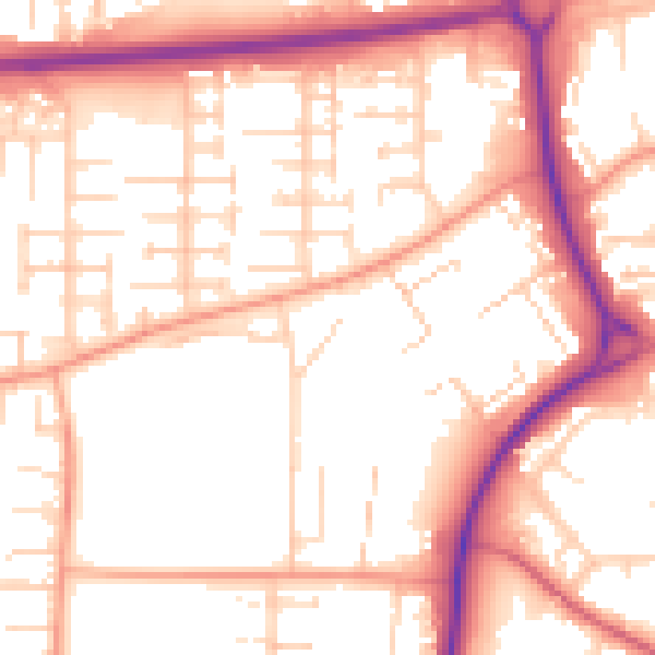
Daytime· 07:00 – 23:00
54.5dB

Night-time· 23:00 – 07:00
43.9dB