22 Fresson Road, Stevenage, SG1 3QU
About 22 Fresson Road
22 Fresson Road is a property in Stevenage (SG1 3QU). It has council tax band E.
Held since April 2007 — that's 19 years off the open market, well above the local norm. That sale landed at the peak of the pre-credit-crunch market, which is a useful reference point when interpreting the price. 3 planning records sit against the property, 3 approved, 0 refused. Past consents include an extension and a loft conversion, meaningful when judging how the property has evolved.
Know exactly what you're buying at 22 Fresson Road
Before you offer, see what the listing won't tell you, the true value, the red flags and the full history.
Already flagged here
Valuation
against the asking price
Risks
planning & flood
Sold prices
similar homes nearby
Trends
the local market
Energy performance
No EPC on record
This property doesn't have an Energy Performance Certificate yet. An EPC is required to sell or let — and unlocks our automated valuation.
Planning history
- Jan 2020ExtensionFullIn report
Extension: Single storey · Side of property
Single storey side extension and front extension to garage; installation of flue for wood burning stove.
- Documents
- 4 docs on file
- Reference
- 19/00717/FPH
- Apr 2016Loft ConversionFullIn report
Loft conversion with front dormers
- Documents
- 6 docs on file
- Reference
- 16/00093/FPH
We flagged 1 thing worth checking at 22 Fresson Road
Independent checks surfaced things a buyer would want to understand before offering. The report explains each one in full, with the underlying data and what to ask.
- Larger development activity nearby
30-day money-back guarantee
Sales history & valuation
The latest sale landed at the peak of the pre-credit-crunch market — a high-water reference point.
£271,785
Recorded with HM Land Registry.
Sales timeline
26 April 2007Most recent
£271,785
Median price across the last 5 sales in SG1 3QU: £492,500 (2024–2021).
Nearby sales in SG1 3QU
Everything we know about 22 Fresson Road, in one report
What it's really worth, what could be wrong, and the planning, sales and area data in full.
What we flagged
- Larger development activity nearby

Similar properties nearby
The neighbourhood at a glance
Reported crime in the wider district is trending notably upward year-on-year.
Crime
20/mo
Rising year-on-year across the wider district.
Nearest stop
0.2 km
Walkern Road — bus stop.
Closest school
0.2 km
Barclay Academy. 25 schools nearby.
Go deeper on the local area
The full report breaks down crime, transport links, schools and air quality in depth.
Road noise across the postcode
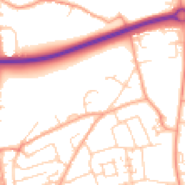
Daytime· 07:00 – 23:00
52.9dB

Night-time· 23:00 – 07:00
42.6dB