13 Freeman Walk, Greenwich, London, SE9 6BF
About 13 Freeman Walk
13 Freeman Walk is a mid-terrace house in Greenwich, London, London (SE9 6BF). It has a recorded floor area of 115 m² (around 1234 sq ft) and council tax band E. The latest certificate (September 2010) returns a high B (score 87), putting the home a stone's throw from an A rating. The latest certificate is from September 2010, so improvements made since then won't be reflected.
Everything you need to know about 13 Freeman Walk
The true value, the hidden risks and the full sale history, in one report.
30-day money-back guarantee

The data behind every report


Energy performance
13 Freeman Walk's carbon output is low for the local stock.
EPC Expired
This certificate is over 10 years old and is no longer valid.Expired 12 Sept 2020
EPC Rating
Planning history
13 Freeman Walk has no planning applications on record.
Notable planning nearby
22applications of note in the surrounding area
We flagged 1 thing worth checking at 13 Freeman Walk
Independent checks surfaced things a buyer would want to understand before offering. The report explains each one in full, with the underlying data and what to ask.
- Signs of HMO activity in the area
30-day money-back guarantee
Sales history & valuation
13 Freeman Walk has no Land Registry sales on file, suggesting it has stayed in the same hands since registration began.
£502,000
Modelled from EPC, postcode comparables.
No sales recorded with HM Land Registry
That can mean the property has never traded since the registry began publishing in 1995, was a new build that hasn't been registered yet, or is held in the same hands long-term.
Versus other Freeman Walk homes
On epc rating, 13 Freeman Walk stands well clear of the street.
EPC Rating
87 (B)
Street avg 84 (B)
Floor Area
115 m²
Street avg 118 m²
CO₂ Emissions
1.4 t/year
Street avg 1.7 t/year
Everything you need to know about 13 Freeman Walk
The true value, the hidden risks and the full sale history, in one report.
30-day money-back guarantee
The data behind every report
Similar properties nearby
1 Bedgebury Road, Greenwich
SE9 6AQ
1 Brenley Gardens, Greenwich
SE9 6LE
1 Haimo Road, Greenwich
SE9 6DZ
1 Chadwick Terrace, Eltham Green Road, Greenwich
SE9 6AZ
1 Allenswood Road, Greenwich
SE9 6RW
1 Ealdham Square, Greenwich
SE9 6BP
1 Freeman Walk, Greenwich
SE9 6BF
1 Barlow Terrace, Meadowside, Greenwich
SE9 6BX
The neighbourhood at a glance
Reported crime in the wider district is trending notably upward year-on-year.
Crime
6/mo
Rising year-on-year across the wider district.
Nearest stop
0.2 km
Eltham Road / Westhorne Avenue — bus stop.
Closest school
0.4 km
Ealdham Primary School. 48 schools nearby.
Go deeper on the local area
The full report breaks down crime, transport links, schools and air quality in depth.
Road noise across the postcode
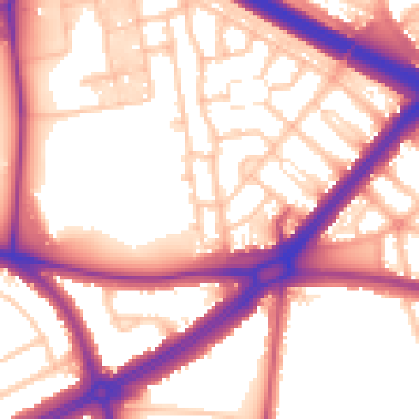
Daytime· 07:00 – 23:00
57.5dB

Night-time· 23:00 – 07:00
50.2dB