20 Ladysmith Road, Greenwich, London, SE9 5BN
About 20 Ladysmith Road
20 Ladysmith Road is a five-bedroom semi-detached house in Greenwich, London, London (SE9 5BN). It has a recorded floor area of 159 m² (around 1711 sq ft), construction records dating it to 1900-1929 and council tax band E. The latest certificate (March 2021) shows a D (score 55), a step below the typical UK home. When first surveyed in February 2013 the rating was E, the property has climbed 1 band since. Between certificates, roof efficiency dropped from Good to Very Poor. The recommended improvements would push it to C (score 76). The property has an EV charger on record, all of which lower running costs and tend to lift resale appeal. Other recorded features include a balcony.
3 planning records sit against the property, 3 approved, 0 refused. Past consents include a loft conversion and an extension, meaningful when judging how the property has evolved. At 159 m² it's 27.8% larger than the typical home in the postcode (124 m² median across 22 EPCs). 5 bedrooms is on the larger side for this postcode, where 3 is the typical count. Across 2013–2022, sale prices on this property compounded at 9.6% per year. On a £-per-square-foot basis, the last sale (£482/sq ft) was about 105.9% above the typical sold price in the postcode. Last sale on file: £825,000 in July 2022. That sale was during the post-pandemic price surge, when transactions cleared materially above pre-2020 trend.
What this property has
Inside
- Bedrooms5
- Bathrooms3
- Dining roomYes
- CloakroomYes
- EnsuiteYes
Outside
- BalconyYes
Building
- EV chargerYes
Everything you need to know about 20 Ladysmith Road
The true value, the hidden risks and the full sale history, in one report.
30-day money-back guarantee

The data behind every report


Energy performance
20 Ladysmith Road's carbon output runs well above what efficient homes in the postcode produce.
EPC Rating
Property Improvements
Changes detected from historical EPC data
Heating controls upgraded for better temperature management
Planning history
Planning history includes both a loft conversion and an extension — the classic family-home expansion.
- Jul 2022Loft ConversionOutlineIn report
Certificate of Lawfulness (Existing) is sought for L shape Loft Dormer.
Retrospective- Documents
- 6 docs on file
- Reference
- 22/1648/CE
- Sept 2018Loft ConversionOutlineIn report
Certificate of Lawfulness (Proposed) is sought for a roof extension comprising a rear dormer and 3 front rooflights.
- Agent
- James Kay Architects
- Documents
- 25 docs on file
- Reference
- 18/2397/CP
We flagged 1 thing worth checking at 20 Ladysmith Road
Independent checks surfaced things a buyer would want to understand before offering. The report explains each one in full, with the underlying data and what to ask.
- Signs of HMO activity in the area
30-day money-back guarantee
Sales history & valuation
Latest sale on 20 Ladysmith Road was the highest on Land Registry record across the postcode.
£809,000
Modelled from EPC, postcode comparables and a sale-price growth of 9.6% per year over 9 years.
£825,000
Growth on file: 9.6% per year over 9 years.
Sales timeline
17 July 2022Most recent
£825,000
+132.4%over 9 years25 April 2013
£355,000
Median price across the last 5 sales in SE9 5BN: £660,000 (2023–2021).
Nearby sales in SE9 5BN
6 Ladysmith Road, Greenwich, London, SE9 5BN
Sold Dec 2023
£640,00023 Ladysmith Road, Greenwich, London, SE9 5BN
Sold Aug 2022
£730,00014 Ladysmith Road, Greenwich, London, SE9 5BN
Sold Feb 2022
£689,9503 Ladysmith Road, Greenwich, London, SE9 5BN
Sold Jan 2022
£660,0001 Ladysmith Road, Greenwich, London, SE9 5BN
Sold Mar 2021
£580,000
Versus other Ladysmith Road homes
20 Ladysmith Road outperforms the street on floor area by a wide margin.
Price per m²
£5,189
Street avg £4,002
Floor Area
159 m²
Street avg 126 m²
Habitable Rooms
6 rooms
Street avg 6 rooms
CO₂ Emissions
6.6 t/year
Street avg 6.6 t/year
Everything you need to know about 20 Ladysmith Road
The true value, the hidden risks and the full sale history, in one report.
30-day money-back guarantee
The data behind every report
Similar properties nearby
1 Eltham Green, Greenwich
SE9 5JZ
1 Cedarhurst Drive, Greenwich
SE9 5LP
1 Ladysmith Road, Greenwich
SE9 5BN
1 Middle Park Avenue, Greenwich
SE9 5HR
1 Enslin Road, Greenwich
SE9 5BP
1 Glasbrook Road, Greenwich
SE9 5RH
1 Queenscroft Road, Greenwich
SE9 5EG
1 King John S Walk, Greenwich
SE9 5QF
The neighbourhood at a glance
Reported crime in the wider district is trending notably upward year-on-year.
Crime
6/mo
Rising year-on-year across the wider district.
Nearest stop
0.1 km
Footscray Road / Southend Crescent — bus stop.
Closest school
0.1 km
St Thomas More Catholic Comprehensive School. 36 schools nearby.
Go deeper on the local area
The full report breaks down crime, transport links, schools and air quality in depth.
Road noise across the postcode
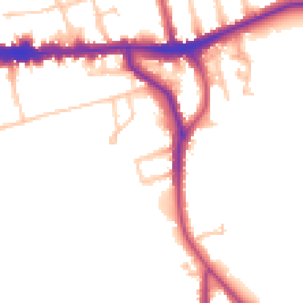
Daytime· 07:00 – 23:00
49.5dB

Night-time· 23:00 – 07:00
41.8dB