Bourdillon Court, Flat 3, Mottingham Road, Bromley, London, SE9 4TL
About Bourdillon Court
Bourdillon Court is a property in Bromley, London, London (SE9 4TL). It has a recorded floor area of 68 m² (around 732 sq ft), construction records dating it to 1950-1966 and council tax band C. At 68 m² this is the largest unit on EPC record across Bourdillon Court (59–68 m²). The building's EPC ratings span D to C, with this unit at the bottom. On EPC score it ranks last in the building (60 versus a best of 79). The latest certificate (April 2012) shows a D (score 60), on the cusp of jumping into the C band. The recommended improvements would push it to C (score 73). Main heating runs on electricity. The latest certificate is from April 2012, so improvements made since then won't be reflected.
On energy efficiency it sits in the bottom 10% of properties in this postcode — significant headroom for improvement.
Everything you need to know about Bourdillon Court
The true value, the hidden risks and the full sale history, in one report.
30-day money-back guarantee

The data behind every report


Energy performance
Bourdillon Court sits at the bottom of the postcode for energy efficiency — meaningful headroom to improve.
EPC Expired
This certificate is over 10 years old and is no longer valid.Expired 24 Apr 2022
EPC Rating
Planning history
Bourdillon Court has no planning applications on record.
Notable planning nearby
16applications of note in the surrounding area
We flagged 2 things worth checking at Bourdillon Court
Independent checks surfaced things a buyer would want to understand before offering. The report explains each one in full, with the underlying data and what to ask.
- Signs of HMO activity in the area
- Larger development activity nearby
30-day money-back guarantee
Sales history & valuation
Bourdillon Court has no Land Registry sales on file, suggesting it has stayed in the same hands since registration began.
£272,000
Modelled from EPC, postcode comparables.
No sales recorded with HM Land Registry
That can mean the property has never traded since the registry began publishing in 1995, was a new build that hasn't been registered yet, or is held in the same hands long-term.
Median price across the last 5 sales in SE9 4TL: £147,500 (2022–1999).
Nearby sales in SE9 4TL
Bourdillon Court, Flat 7, Mottingham Road, Bromley, London, SE9 4TL
Sold Oct 2022
£300,000Bourdillon Court, Flat 10, Mottingham Road, Bromley, London, SE9 4TL
Sold Jul 2000
£73,000Bourdillon Court, Flat 9, Mottingham Road, Bromley, London, SE9 4TL
Sold May 1999
£60,000Bourdillon Court, Flat 1, Mottingham Road, Bromley, London, SE9 4TL
Sold Sept 1996
£45,400
Versus other Mottingham Road homes
On epc rating, Bourdillon Court runs well behind the street norm.
EPC Rating
60 (D)
Street avg 75 (C)
Floor Area
68 m²
Street avg 62 m²
CO₂ Emissions
5.1 t/year
Street avg 2.2 t/year
Habitable Rooms
4 rooms
Street avg 3 rooms
Everything you need to know about Bourdillon Court
The true value, the hidden risks and the full sale history, in one report.
30-day money-back guarantee
The data behind every report
Similar properties nearby
Bourdillon Court, Flat 2, Mottingham Road, Bromley
SE9 4TL
Bourdillon Court, Flat 9, Mottingham Road, Bromley
SE9 4TL
Bourdillon Court, Flat 10, Mottingham Road, Bromley
SE9 4TL
288a, Flat 3, Court Road
SE9 4TU
Bourdillon Court, Flat 12, Mottingham Road, Bromley
SE9 4TL
Bourdillon Court, Flat 8, Mottingham Road, Bromley
SE9 4TL
Bourdillon Court, Flat 7, Mottingham Road, Bromley
SE9 4TL
73a, Second Floor Flat, Mottingham Road
SE9 4QZ
The neighbourhood at a glance
Rail-style transport is unusually close for this postcode.
Crime
6/mo
Rising year-on-year across the wider district.
Nearest stop
0.0 km
Court Road / Mottingham Road — bus stop.
Closest school
0.8 km
St Vincent's Catholic Primary School. 35 schools nearby.
Go deeper on the local area
The full report breaks down crime, transport links, schools and air quality in depth.
Road noise across the postcode
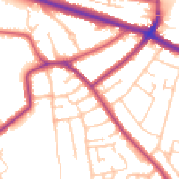
Daytime· 07:00 – 23:00
52.8dB

Night-time· 23:00 – 07:00
43.5dB