9 Harting Road, Bromley, London, SE9 4JP
About 9 Harting Road
9 Harting Road is an end-of-terrace house in Bromley, London, London (SE9 4JP). It has a recorded floor area of 61 m² (around 657 sq ft), construction records dating it to 1930-1949 and council tax band B. The latest certificate (August 2021) shows a D (score 56), a step below the typical UK home. Earlier certificates rated it C (May 2009); the latest reading is one band lower. Between certificates, roof efficiency dropped from Average to Very Poor and hot-water efficiency dropped from Very Good to Good.
At 61 m² it's 27.1% larger than the typical home in the postcode (48 m² median across 16 EPCs).
Everything you need to know about 9 Harting Road
The true value, the hidden risks and the full sale history, in one report.
30-day money-back guarantee

The data behind every report


Energy performance
EPC Rating
Planning history
9 Harting Road has no planning applications on record.
Notable planning nearby
16applications of note in the surrounding area
We flagged 2 things worth checking at 9 Harting Road
Independent checks surfaced things a buyer would want to understand before offering. The report explains each one in full, with the underlying data and what to ask.
- Signs of HMO activity in the area
- Larger development activity nearby
30-day money-back guarantee
Sales history & valuation
9 Harting Road has no Land Registry sales on file, suggesting it has stayed in the same hands since registration began.
£253,000
Modelled from EPC, postcode comparables.
No sales recorded with HM Land Registry
That can mean the property has never traded since the registry began publishing in 1995, was a new build that hasn't been registered yet, or is held in the same hands long-term.
Median price across the last 5 sales in SE9 4JP: £240,000 (2025–2018).
Nearby sales in SE9 4JP
57 Harting Road, Bromley, London, SE9 4JP
Sold Feb 2025
£387,00041 Harting Road, Bromley, London, SE9 4JP
Sold Nov 2024
£240,00039 Harting Road, Bromley, London, SE9 4JP
Sold Jun 2021
£230,00053 Harting Road, Bromley, London, SE9 4JP
Sold Nov 2017
£237,00051 Harting Road, Bromley, London, SE9 4JP
Sold Feb 2014
£150,000
Versus other Harting Road homes
9 Harting Road is notably below the street on epc rating.
EPC Rating
56 (D)
Street avg 69 (D)
Floor Area
61 m²
Street avg 42 m²
CO₂ Emissions
3.6 t/year
Street avg 1.9 t/year
Habitable Rooms
2 rooms
Street avg 2 rooms
Everything you need to know about 9 Harting Road
The true value, the hidden risks and the full sale history, in one report.
30-day money-back guarantee
The data behind every report
Similar properties nearby
1 Charlesfield, Lewisham
SE9 4NX
1 Albert Road, Bromley
SE9 4SW
1 Calcott Walk, Bromley
SE9 4BN
1 Castlecombe Road, Bromley
SE9 4AU
1 Cedar Mount, Mottingham Lane, Bromley
SE9 4RU
1 Devonshire Road, Bromley
SE9 4QP
1 Castleton Road, Lewisham
SE9 4BY
1 Aldersgrove Avenue, Lewisham
SE9 4PW
The neighbourhood at a glance
Reported crime in the wider district is trending notably upward year-on-year.
Crime
6/mo
Rising year-on-year across the wider district.
Nearest stop
0.1 km
Beaconsfield Road (SE9) — bus stop.
Closest school
0.0 km
St Vincent's Catholic Primary School. 34 schools nearby.
Go deeper on the local area
The full report breaks down crime, transport links, schools and air quality in depth.
Road noise across the postcode
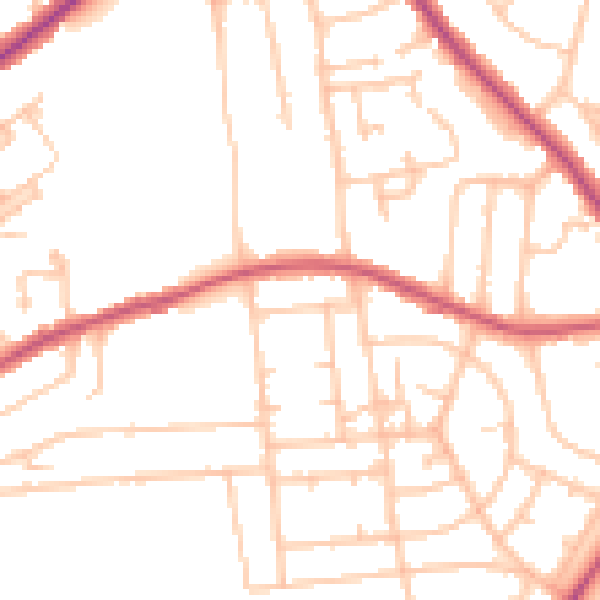
Daytime· 07:00 – 23:00
49.8dB

Night-time· 23:00 – 07:00
39.0dB