1 Northlands Street, Lambeth, London, SE5 9PL
About 1 Northlands Street
1 Northlands Street is an end-of-terrace house in Lambeth, London, London (SE5 9PL). It has a recorded floor area of 74 m² (around 797 sq ft), construction records dating it to before 1900 and council tax band D. At 74 m² this is the 52nd smallest of 63 units on EPC record in the building, where floor areas span 45–187 m². The building's EPC ratings span F to C, with this unit at the top. The latest certificate (March 2024) shows a C (score 74). When first surveyed in May 2009 the rating was E, the property has climbed 2 bands since. Between certificates, window efficiency went from Average to Good, hot-water efficiency went from Average to Good and lighting went from Very Poor to Very Good.
Untraded for 27 years, with the last transfer in May 1999. Only one transfer is on record with HM Land Registry, suggesting it has stayed in the same hands for a long time. At 74 m² the property is well over the postcode median (56 m² across 64 EPCs), placing it in the larger end of the local stock. Today's modelled estimate of £513,000 sits 689.2% above the 1999 sale of £65,000. On a £-per-square-foot basis, the last sale (£82/sq ft) was about 79.3% below the postcode norm. One planning record on file: an extension approved in 2015. Past consents include an extension, meaningful when judging how the property has evolved.
Know exactly what you're buying at 1 Northlands Street
Before you offer, see what the listing won't tell you, the true value, the red flags and the full history.
Already flagged here
Valuation
against the asking price
Risks
planning & flood
Sold prices
similar homes nearby
Trends
the local market
Energy performance
EPC Rating
Property Improvements
Changes detected from historical EPC data
Heating controls changed
Hot water efficiency improved
More low energy lighting installed
Heating controls upgraded for better temperature management
Window efficiency improved
Low energy lighting percentage decreased
Ventilation system changed
Heating controls upgraded for better temperature management
More low energy lighting installed
Heating controls changed
Low energy lighting percentage decreased
Heating controls upgraded for better temperature management
Window efficiency improved
More low energy lighting installed
Planning history
1 Northlands Street has an approved single-storey side and rear extension on the planning record.
- Mar 2015ExtensionFullIn report
Extension: Single storey · Side and rear of property
Erection of a single storey ground floor rear side extension.
- Agent
- Open Space London Ltd
- Documents
- 13 docs on file
- Reference
- 15/00446/FUL
We flagged 1 thing worth checking at 1 Northlands Street
Independent checks surfaced things a buyer would want to understand before offering. The report explains each one in full, with the underlying data and what to ask.
- Larger development activity nearby
30-day money-back guarantee
Sales history & valuation
1 Northlands Street's modelled value sits at over four times its earliest registered sale price (1999).
£513,000
Modelled from EPC, postcode comparables.
£65,000
Recorded with HM Land Registry.
Sales timeline
23 May 1999Most recent
£65,000
Median price across the last 5 sales in SE5 9PL: £501,000 (2025–2024).
Nearby sales in SE5 9PL
Flat 2, 25 Northlands Street, Lambeth, London, SE5 9PL
Sold Oct 2025
£425,000Flat 1, 12 Northlands Street, Lambeth, London, SE5 9PL
Sold Dec 2024
£501,000Flat 2, 20 Northlands Street, Lambeth, London, SE5 9PL
Sold Nov 2024
£650,0001a, Northlands Street, Lambeth, London, SE5 9PL
Sold Jul 2024
£610,15029c, Northlands Street, Lambeth, London, SE5 9PL
Sold Feb 2024
£281,000
Everything we know about 1 Northlands Street, in one report
What it's really worth, what could be wrong, and the planning, sales and area data in full.
What we flagged
- Larger development activity nearby

Versus other Northlands Street homes
Price per m² for 1 Northlands Street lags the street by a wide margin.
Price per m²
£878
Street avg £6,015
Floor Area
74 m²
Street avg 60 m²
Habitable Rooms
3 rooms
Street avg 3 rooms
CO₂ Emissions
2.1 t/year
Street avg 2.2 t/year
Similar properties nearby
1 Herschell Mews, Lambeth
SE5 9AT
1 Kenbury Gardens, Lambeth
SE5 9BP
1 Camberwell Station Road, Southwark
SE5 9JJ
1 Bavent Road, Lambeth
SE5 9RY
1 Caldecot Road, Lambeth
SE5 9RL
1 Elam Close, Lambeth
SE5 9BW
1 Mornington Mews, County Grove, Southwark
SE5 9LA
1 Carre Mews, Lambeth
SE5 9LS
The neighbourhood at a glance
Rail-style transport is unusually close for this postcode.
Crime
13/mo
Rising year-on-year across the wider district.
Nearest stop
0.1 km
Lilford Road (SE5) — bus stop.
Closest school
0.5 km
Crawford Primary School. 89 schools nearby.
Go deeper on the local area
The full report breaks down crime, transport links, schools and air quality in depth.
Road noise across the postcode
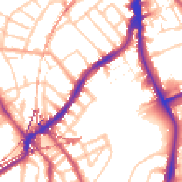
Daytime· 07:00 – 23:00
54.6dB

Night-time· 23:00 – 07:00
45.2dB