24 Porchester Close, Lambeth, London, SE5 8EW
About 24 Porchester Close
24 Porchester Close is an end-of-terrace house in Lambeth, London, London (SE5 8EW). It has a recorded floor area of 74 m² (around 797 sq ft), construction records dating it to 1983-1990 and council tax band E. The latest certificate (March 2015) shows a C (score 71). The recommended improvements would push it to B (score 86). The latest certificate is from March 2015, so improvements made since then won't be reflected.
At 74 m² the property is well over the postcode median (51 m² across 32 EPCs), placing it in the larger end of the local stock.
Know exactly what you're buying at 24 Porchester Close
Before you offer, see what the listing won't tell you, the true value, the red flags and the full history.
Already flagged here
Valuation
against the asking price
Risks
planning & flood
Sold prices
similar homes nearby
Trends
the local market
Energy performance
24 Porchester Close's EPC is over a decade old — improvements since won't be reflected.
EPC Expired
This certificate is over 10 years old and is no longer valid.Expired 30 Mar 2025
EPC Rating
Planning history
24 Porchester Close has no planning applications on record.
Notable planning nearby
13applications of note in the surrounding area
We flagged 2 things worth checking at 24 Porchester Close
Independent checks surfaced things a buyer would want to understand before offering. The report explains each one in full, with the underlying data and what to ask.
- Signs of HMO activity in the area
- Larger development activity nearby
30-day money-back guarantee
Sales history & valuation
24 Porchester Close has no Land Registry sales on file, suggesting it has stayed in the same hands since registration began.
£629,000
Modelled from EPC, postcode comparables.
No sales recorded with HM Land Registry
That can mean the property has never traded since the registry began publishing in 1995, was a new build that hasn't been registered yet, or is held in the same hands long-term.
Everything we know about 24 Porchester Close, in one report
What it's really worth, what could be wrong, and the planning, sales and area data in full.
What we flagged
- Signs of HMO activity in the area
- Larger development activity nearby

Versus other Porchester Close homes
24 Porchester Close is notably below the street on floor area.
EPC Rating
71 (C)
Street avg 72 (C)
Floor Area
74 m²
Street avg 84 m²
CO₂ Emissions
2.3 t/year
Street avg 2.5 t/year
Habitable Rooms
3 rooms
Street avg 4 rooms
Similar properties nearby
1 Camberwell Grove, Southwark
SE5 8JA
1 Blanchedowne, Southwark
SE5 8HT
1 Anderton Close, Southwark
SE5 8BU
1 Canning Cross, Southwark
SE5 8BH
1 Cuthill Walk, Southwark
SE5 8SH
1 Chamberlain Cottages, Camberwell Grove, Southwark
SE5 8JD
1 Ashworth Close, Southwark
SE5 8SS
1 Champion Grove, Southwark
SE5 8BW
The neighbourhood at a glance
Rail-style transport is unusually close for this postcode.
Crime
13/mo
Rising year-on-year across the wider district.
Nearest stop
0.1 km
Deepdene Road Herne Hill — bus stop.
Closest school
0.4 km
St Saviour's Church of England Primary School. 81 schools nearby.
Go deeper on the local area
The full report breaks down crime, transport links, schools and air quality in depth.
Road noise across the postcode
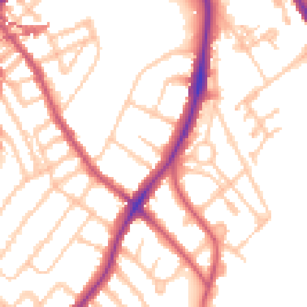
Daytime· 07:00 – 23:00
52.3dB

Night-time· 23:00 – 07:00
41.8dB