3 Cobourg Road, Southwark, London, SE5 0HT
About 3 Cobourg Road
3 Cobourg Road is a property in Southwark, London, London (SE5 0HT). It has council tax band E.
Energy performance
No EPC on record
This property doesn't have an Energy Performance Certificate yet. An EPC is required to sell or let — and unlocks our automated valuation.
Planning history
No planning applications are recorded against 3 Cobourg Road, Southwark, London, SE5 0HT. The full report also covers planning activity across the surrounding area.
Sales history & valuation
No sales recorded with HM Land Registry
That can mean the property has never traded since the registry began publishing in 1995, was a new build that hasn't been registered yet, or is held in the same hands long-term.
Median price across the last 5 sales in SE5 0HT: £295,000 (2016–2004).
Nearby sales in SE5 0HT
27 Cobourg Road, Southwark, London, SE5 0HT
Sold May 2016
£825,00029 Cobourg Road, Southwark, London, SE5 0HT
Sold Jun 2015
£1,150,0001 Cobourg Road, Southwark, London, SE5 0HT
Sold Dec 2008
£210,0009 Cobourg Road, Southwark, London, SE5 0HT
Sold Sept 2005
£295,00019 Cobourg Road, Southwark, London, SE5 0HT
Sold Aug 2004
£248,000
Similar properties nearby
1 Albany Mews, Albany Road, Southwark
SE5 0DQ
1 Bishops Mead, Camberwell Road, Southwark
SE5 0EU
1 Castle Mead, Camberwell Road, Southwark
SE5 0EA
1 Chumleigh Gardens, Chumleigh Street, Southwark
SE5 0RJ
1 Church Mead, Camberwell Road, Southwark
SE5 0ET
1 Cobourg Road, Southwark
SE5 0HT
1 Crown Building, Crown Street, Southwark
SE5 0UR
1 Glenfinlas Way, Southwark
SE5 0PW
The neighbourhood at a glance
Reported crime in the wider district is trending notably upward year-on-year.
Crime
13/mo
Rising year-on-year across the wider district.
Nearest stop
0.1 km
Nile Terrace — bus stop.
Closest school
0.3 km
Ark Walworth Academy. 102 schools nearby.
Road noise across the postcode
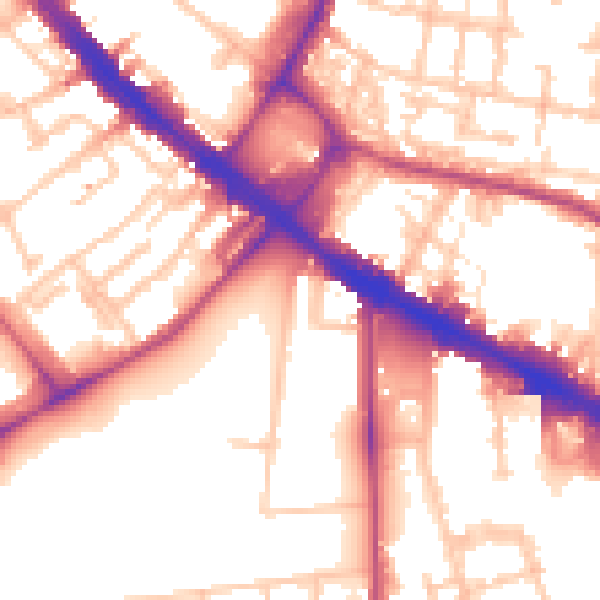
Daytime· 07:00 – 23:00
55.9dB
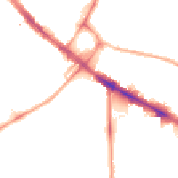
Night-time· 23:00 – 07:00
46.1dB