11 Albany Mews, Albany Road, Southwark, London, SE5 0DQ
About 11 Albany Mews
11 Albany Mews is a property in Southwark, London, London (SE5 0DQ). It has council tax band D.
Energy performance
No EPC on record
This property doesn't have an Energy Performance Certificate yet. An EPC is required to sell or let — and unlocks our automated valuation.
Planning history
No planning applications are recorded against 11 Albany Mews, Albany Road, Southwark, London, SE5 0DQ. The full report also covers planning activity across the surrounding area.
Sales history & valuation
No sales recorded with HM Land Registry
That can mean the property has never traded since the registry began publishing in 1995, was a new build that hasn't been registered yet, or is held in the same hands long-term.
Median price across the last 5 sales in SE5 0DQ: £525,000 (2025–2020).
Nearby sales in SE5 0DQ
5 Albany Mews, Albany Road, Southwark, London, SE5 0DQ
Sold Feb 2025
£561,0005a, Albany Mews, Albany Road, Southwark, London, SE5 0DQ
Sold Nov 2024
£550,0002a, Albany Mews, Albany Road, Southwark, London, SE5 0DQ
Sold Oct 2024
£525,0004a, Albany Mews, Albany Road, Southwark, London, SE5 0DQ
Sold Mar 2024
£485,0001 Albany Mews, Albany Road, Southwark, London, SE5 0DQ
Sold Jul 2010
£280,000
Similar properties nearby
1 Albany Mews, Albany Road, Southwark
SE5 0DQ
1 Bishops Mead, Camberwell Road, Southwark
SE5 0EU
1 Castle Mead, Camberwell Road, Southwark
SE5 0EA
1 Chumleigh Gardens, Chumleigh Street, Southwark
SE5 0RJ
1 Church Mead, Camberwell Road, Southwark
SE5 0ET
1 Cobourg Road, Southwark
SE5 0HT
1 Crown Building, Crown Street, Southwark
SE5 0UR
1 Glenfinlas Way, Southwark
SE5 0PW
The neighbourhood at a glance
Reported crime in the wider district is trending notably upward year-on-year.
Crime
13/mo
Rising year-on-year across the wider district.
Nearest stop
0.1 km
Albany Road / Camberwell Road — bus stop.
Closest school
0.2 km
John Ruskin Primary School and Language Classes. 101 schools nearby.
Road noise across the postcode
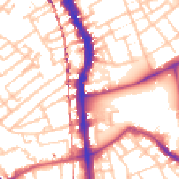
Daytime· 07:00 – 23:00
55.2dB
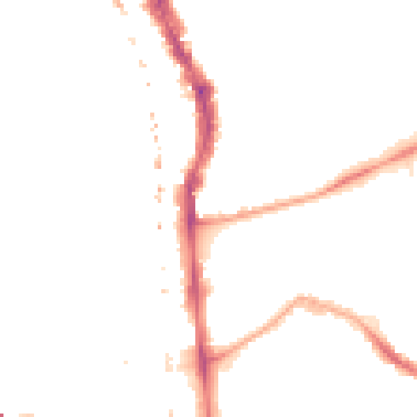
Night-time· 23:00 – 07:00
43.7dB