108 Albany Road, Southwark, London, SE5 0DA
About 108 Albany Road
108 Albany Road is a three-bedroom mid-terrace house in Southwark, London, London (SE5 0DA). It has a recorded floor area of 118 m² (around 1270 sq ft), construction records dating it to before 1900 and council tax band D. The latest certificate (November 2020) shows a D (score 55), a step below the typical UK home. The recommended improvements would push it to C (score 76).
It hasn't traded since July 2005, a hold of 21 years that's notably long for the area. At 118 m² the property is well over the postcode median (91 m² across 10 EPCs), placing it in the larger end of the local stock. Across 2001–2005, sale prices on this property compounded at 11.2% per year. Today's modelled estimate of £776,000 sits 164.8% above the 2005 sale of £293,000. On a £-per-square-foot basis, the last sale (£231/sq ft) was about 23.9% below the postcode norm. 2 planning records sit against the property, 1 approved, 1 refused. Past consents include an extension, meaningful when judging how the property has evolved.
Know exactly what you're buying at 108 Albany Road
Before you offer, see what the listing won't tell you, the true value, the red flags and the full history.
Already flagged here
Valuation
against the asking price
Risks
planning & flood
Sold prices
similar homes nearby
Trends
the local market
What this property has
Inside
- Bedrooms3
- Bathrooms1
- StudyYes
Outside
- ParkingOff street
- Summer houseYes
Building
- RefurbishedYes
Energy performance
EPC Rating
Planning history
108 Albany Road has 2 separate extension applications on the council record.
- Oct 2011ExtensionFullIn report
Extension: Single storey · Side and rear of property
Single storey ground floor side/rear extension
- Agent
- Everest Ltd
- Documents
- 11 docs on file
- Reference
- 11/AP/2668
- Jun 2010ConservatoryFullIn report
Extension: Single storey
Erection of a single storey, timber framed, glazed conservatory
- Agent
- Amdega Ltd.
Extension- Documents
- 5 docs on file
- Reference
- 10/AP/1159
We flagged 2 things worth checking at 108 Albany Road
Independent checks surfaced things a buyer would want to understand before offering. The report explains each one in full, with the underlying data and what to ask.
- Signs of HMO activity in the area
- Larger development activity nearby
30-day money-back guarantee
Sales history & valuation
108 Albany Road's modelled value sits at over four times its earliest registered sale price (2001).
£776,000
Modelled from EPC, postcode comparables and a sale-price growth of 11.2% per year over 4 years.
£293,000
Growth on file: 11.2% per year over 4 years.
Sales timeline
18 July 2005Most recent
£293,000
+58.4%over 4 years25 March 2001
£185,000
Median price across the last 5 sales in SE5 0DA: £730,000 (2024–2015).
Nearby sales in SE5 0DA
98 Albany Road, Southwark, London, SE5 0DA
Sold Aug 2024
£660,000100 Albany Road, Southwark, London, SE5 0DA
Sold Mar 2024
£730,000110 Albany Road, Southwark, London, SE5 0DA
Sold Jun 2020
£810,000104 Albany Road, Southwark, London, SE5 0DA
Sold Apr 2017
£747,000102 Albany Road, Southwark, London, SE5 0DA
Sold Jul 2015
£545,000
Everything we know about 108 Albany Road, in one report
What it's really worth, what could be wrong, and the planning, sales and area data in full.
What we flagged
- Signs of HMO activity in the area
- Larger development activity nearby

Versus other Albany Road homes
On price per m², 108 Albany Road runs well behind the street norm.
Price per m²
£2,483
Street avg £6,414
Floor Area
118 m²
Street avg 96 m²
Habitable Rooms
5 rooms
Street avg 4 rooms
CO₂ Emissions
5.5 t/year
Street avg 4.5 t/year
Similar properties nearby
10 Medlar Street, Southwark
SE5 0JU
1 Cobourg Road, Southwark
SE5 0HT
1 Albany Mews, Albany Road, Southwark
SE5 0DQ
1 Pepler Mews, Southwark
SE5 0HX
10 Thompson Avenue, Southwark
SE5 0TL
1 Kit Apartments, 151 Camberwell New Road, Southwark
SE5 0SU
10 Albany Mews, Albany Road, Southwark
SE5 0DQ
1 Wesson Mead, Camberwell Road, Southwark
SE5 0UW
The neighbourhood at a glance
Reported crime in the wider district is trending notably upward year-on-year.
Crime
13/mo
Rising year-on-year across the wider district.
Nearest stop
0.3 km
Dunton Road — bus stop.
Closest school
0.1 km
Ark Walworth Academy. 99 schools nearby.
Go deeper on the local area
The full report breaks down crime, transport links, schools and air quality in depth.
Road noise across the postcode
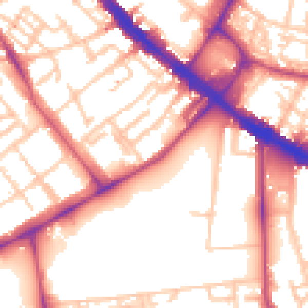
Daytime· 07:00 – 23:00
56.1dB

Night-time· 23:00 – 07:00
45.7dB