2b, Spencer Yard, Lewisham, London, SE3 0DE
About 2b
2b is a semi-detached house in Lewisham, London, London (SE3 0DE). It has a recorded floor area of 36 m² (around 389 sq ft), construction records dating it to 1900-1929 and council tax band B. The latest certificate (March 2012) shows a D (score 63), on the cusp of jumping into the C band. The latest certificate is from March 2012, so improvements made since then won't be reflected.
Know exactly what you're buying at 2b
Before you offer, see what the listing won't tell you, the true value, the red flags and the full history.
Valuation
against the asking price
Risks
planning & flood
Sold prices
similar homes nearby
Trends
the local market
Energy performance
2b's EPC is over a decade old — improvements since won't be reflected.
EPC Expired
This certificate is over 10 years old and is no longer valid.Expired 20 Mar 2022
EPC Rating
Planning history
2b has no planning applications on record.
Notable planning nearby
3applications of note in the surrounding area
Sales history & valuation
2b has no Land Registry sales on file, suggesting it has stayed in the same hands since registration began.
£296,000
Modelled from EPC, postcode comparables.
No sales recorded with HM Land Registry
That can mean the property has never traded since the registry began publishing in 1995, was a new build that hasn't been registered yet, or is held in the same hands long-term.
Everything we know about 2b, in one report
What it's really worth, what could be wrong, and the planning, sales and area data in full.
- Am I paying too much?
- Is something wrong with it?
- Is the agent's story true?
- Will it hold its value?

Similar properties nearby
1 Brook Lane, Greenwich
SE3 0EB
1 Hurren Close
SE3 0XA
1 Kidbrooke Park Close, Greenwich
SE3 0EF
1 Lindsey Court, Camden Row
SE3 0QB
1 Chiswell Square, Greenwich
SE3 0JF
1 Kidbrooke Park Road, Greenwich
SE3 0LR
1 Kidbrooke Way, Greenwich
SE3 0DY
1 Delme Crescent, Greenwich
SE3 0ED
The neighbourhood at a glance
Rail-style transport is unusually close for this postcode.
Crime
10/mo
Rising year-on-year across the wider district.
Nearest stop
0.0 km
Blackheath Rail Station — railway station.
Closest school
0.2 km
John Ball Primary School. 59 schools nearby.
Go deeper on the local area
The full report breaks down crime, transport links, schools and air quality in depth.
Road noise across the postcode
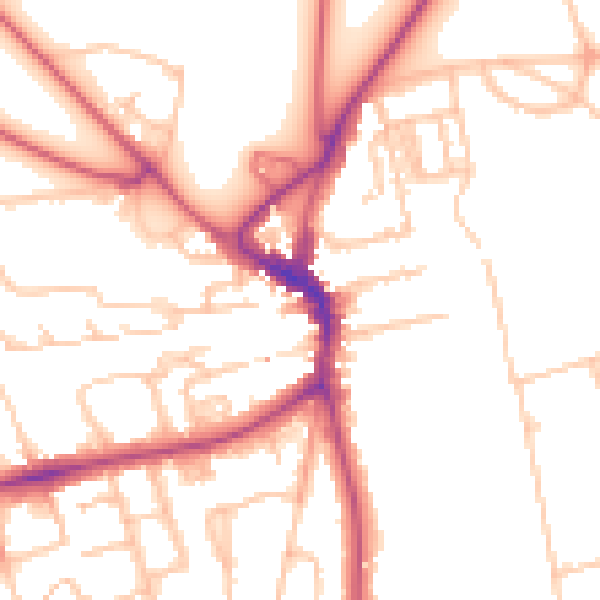
Daytime· 07:00 – 23:00
51.8dB
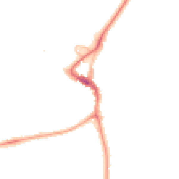
Night-time· 23:00 – 07:00
42.0dB