19 Bloomhall Road, Lambeth, London, SE19 1JH
About 19 Bloomhall Road
A plain-English summary derived from public records, EPC certificates, sold prices and local data.
19 Bloomhall Road is a semi-detached house in Lambeth, London, London (SE19 1JH). It has a recorded floor area of 74 m² (around 797 sq ft), construction records dating it to 1900-1929 and council tax band C. The latest certificate (July 2017) shows a D (score 57), a step below the typical UK home. The recommended improvements would lift it to B (score 82), a 2-band jump.
Held since May 2002 — that's 24 years off the open market, well above the local norm. Today's modelled estimate of £524,000 sits 240.3% above the 2002 sale of £154,000. On a £-per-square-foot basis, the last sale (£193/sq ft) was about 18.5% below the postcode norm.
Energy performance
Every EPC certificate filed against this property — current rating, recorded improvements, and where there's headroom to reach a higher band.
Recommended upgrades on file would lift this property by multiple EPC bands.
EPC Rating
A
B
C
D
D57
E
F
G
Main Heating
Gas
Main Fuel
Gas
Hot Water
Good
Windows
Average
CO2 Emissions
3.9 t/year
Occupancy
Rented
Planning history
Applications and permits filed against 19 Bloomhall Road, Lambeth, London, SE19 1JH, sourced from the PlanIt planning register.
No planning applications are recorded against 19 Bloomhall Road, Lambeth, London, SE19 1JH. The full report also covers planning activity across the surrounding area.
Full planning data for 19 Bloomhall Road, Lambeth, London, SE19 1JH
Every application and decision on this property and nearby, in full, in the report.
Sales history & valuation
Recorded transactions, our model's current estimate, and a quick read on what neighbouring properties have sold for.
19 Bloomhall Road's estimated value is more than triple its earliest registered sale price (2002).
Current estimate
See how we calculated this£524,000
Modelled from EPC, postcode comparables.
Last sold (2002)
£154,000
Recorded with HM Land Registry.
Sales timeline
Launch offer · 33% off
The complete analysis of 19 Bloomhall Road, Lambeth, London, SE19 1JH
Everything we know about this property, compiled into one in-depth, downloadable report.
Detailed analysis
A written breakdown of everything that matters
Versus other Bloomhall Road homes
Four headline reads against 18 similar houses on this street, drawn from the latest EPC and Land Registry data.
19 Bloomhall Road outperforms the street on years held by a wide margin.
Price per m²
£2,081
Street avg £4,384
Floor Area
74 m²
Street avg 77 m²
Habitable Rooms
4 rooms
Similar properties nearby
A handful of close matches in the same postcode area, ranked by likeness on bedrooms, type and floor area.
The neighbourhood at a glance
A condensed read of the local area. Each tile links through to the full breakdown on the London district page.
Rail-style transport is unusually close for this postcode.
Crime
5/mo
Steady year-on-year across the wider district.
Nearest stop
0.2 km
Hermitage Road — bus stop.
Road noise across the postcode
Modelled day and night-time noise levels around SE19 1JH from Defra's strategic mapping. The pin marks this postcode's centroid.
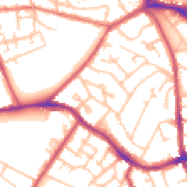
Daytime· 07:00 – 23:00
53.6dB

Everything within walking distance
Schools, transport stops and scenic spots near this property — 80 points of interest in total.
Common questions
The questions buyers, sellers and homeowners most often ask about 19 Bloomhall Road, Lambeth, London, SE19 1JH. Each answer is also embedded as structured data for search engines.
