10 Hunters Meadow, Dulwich Wood Avenue, Southwark, London, SE19 1HX
About 10 Hunters Meadow
A plain-English summary derived from public records, EPC certificates, sold prices and local data.
10 Hunters Meadow is a detached house in Southwark, London, London (SE19 1HX). It has a recorded floor area of 103 m² (around 1109 sq ft), construction records dating it to 1950-1966 and council tax band F. The latest certificate (February 2016) shows a D (score 61), on the cusp of jumping into the C band. The recommended improvements would lift it to B (score 83), a 2-band jump. The latest certificate is from February 2016, so improvements made since then won't be reflected.
At 103 m² the property is well over the postcode median (46 m² across 19 EPCs), placing it in the larger end of the local stock.
Energy performance
Every EPC certificate filed against this property — current rating, recorded improvements, and where there's headroom to reach a higher band.
Recommended upgrades on file would lift this property by multiple EPC bands.
EPC Expired
This certificate is over 10 years old and is no longer valid.Expired 05 Feb 2026
Planning history
Applications and permits filed against 10 Hunters Meadow, Dulwich Wood Avenue, Southwark, London, SE19 1HX, sourced from the PlanIt planning register.
No planning applications are recorded against 10 Hunters Meadow, Dulwich Wood Avenue, Southwark, London, SE19 1HX. The full report also covers planning activity across the surrounding area.
Full planning data for 10 Hunters Meadow, Dulwich Wood Avenue, Southwark, London, SE19 1HX
Every application and decision on this property and nearby, in full, in the report.
Sales history & valuation
Recorded transactions, our model's current estimate, and a quick read on what neighbouring properties have sold for.
10 Hunters Meadow has no Land Registry sales on file, suggesting it has stayed in the same hands since registration began.
Current estimate
See how we calculated this£783,000
Modelled from EPC, postcode comparables.
No sales recorded with HM Land Registry
That can mean the property has never traded since the registry began publishing in 1995, was a new build that hasn't been registered yet, or is held in the same hands long-term.
Launch offer · 33% off
The complete analysis of 10 Hunters Meadow, Dulwich Wood Avenue, Southwark, London, SE19 1HX
Everything we know about this property, compiled into one in-depth, downloadable report.
Detailed analysis
A written breakdown of everything that matters
Similar properties nearby
A handful of close matches in the same postcode area, ranked by likeness on bedrooms, type and floor area.
The neighbourhood at a glance
A condensed read of the local area. Each tile links through to the full breakdown on the London district page.
Rail-style transport is unusually close for this postcode.
Crime
5/mo
Steady year-on-year across the wider district.
Nearest stop
0.1 km
Gipsy Hill / Gipsy Road — bus stop.
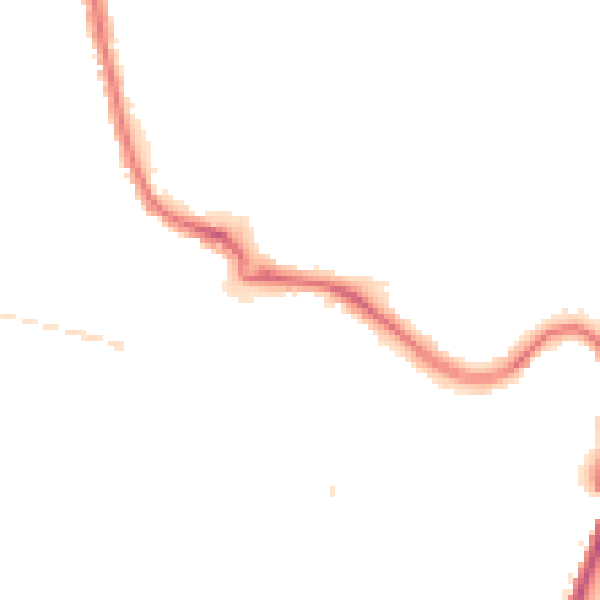
Road noise across the postcode
Modelled day and night-time noise levels around SE19 1HX from Defra's strategic mapping. The pin marks this postcode's centroid.
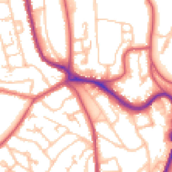
Daytime· 07:00 – 23:00
54.2dB
Everything within walking distance
Schools, transport stops and scenic spots near this property — 90 points of interest in total.
Common questions
The questions buyers, sellers and homeowners most often ask about 10 Hunters Meadow, Dulwich Wood Avenue, Southwark, London, SE19 1HX. Each answer is also embedded as structured data for search engines.
