47 Ambergate Street, Southwark, London, SE17 3RY
About 47 Ambergate Street
47 Ambergate Street is a two-bedroom mid-terrace house in Southwark, London, London (SE17 3RY). It has a recorded floor area of 122 m² (around 1313 sq ft), construction records dating it to 1930-1949 and council tax band C. The latest certificate (June 2025) shows a D (score 64), on the cusp of jumping into the C band. The recommended improvements would push it to C (score 71). Main heating runs on electricity.
It hasn't traded since May 2006, a hold of 20 years that's notably long for the area. At 122 m² the property is well over the postcode median (60 m² across 19 EPCs), placing it in the larger end of the local stock. Across 2001–2006, sale prices on this property compounded at 8% per year. Today's modelled estimate of £622,000 sits 134.7% above the 2006 sale of £265,000. On a £-per-square-foot basis, the last sale (£202/sq ft) was about 70.4% below the postcode norm. 2 planning records sit against the property, 2 approved, 0 refused. Past consents include an extension and a loft conversion, meaningful when judging how the property has evolved.
Know exactly what you're buying at 47 Ambergate Street
Before you offer, see what the listing won't tell you, the true value, the red flags and the full history.
Launch offer · save £5
Valuation
against the asking price
Risks
planning & flood
Sold prices
similar homes nearby
Trends
the local market
What this property has
Inside
- Bedrooms2
- Dining roomYes
Energy performance
EPC Rating
Planning history
- Apr 2021Loft ConversionFullIn report
Construction of a rear L-shaped loft mansard with 2 roof lights to the front roof slope, reforming of existing enclosure of original roof terrace with a glazed corner and replacing to existing side windows with a single side window.
Extension- Documents
- 11 docs on file
- Reference
- 21/AP/0510
- Feb 2016Loft ConversionFullIn report
Rear loft dormer with 2 No vellux roof windows to front roof and 2 No vellux roof windows to rear return roof and reforming of existing enclosure of original roof terrace with a glazed corner.
Extension- Documents
- 3 docs on file
- Reference
- 15/AP/4988
What's in 47 Ambergate Street, Southwark, London, SE17 3RY's planning history?
Refusals, disputes and full decisions on this property and nearby, in the report.
Sales history & valuation
47 Ambergate Street's estimated value is more than triple its earliest registered sale price (2001).
£622,000
Modelled from EPC, postcode comparables and a sale-price growth of 8.0% per year over 5 years.
£265,000
Growth on file: 8.0% per year over 5 years.
Sales timeline
30 May 2006Most recent
£265,000
+51.4%over 5 years5 January 2001
£175,000
Median price across the last 5 sales in SE17 3RY: £610,000 (2023–2018).
Nearby sales in SE17 3RY
49 Ambergate Street, Southwark, London, SE17 3RY
Sold Aug 2023
£1,270,00033 Ambergate Street, Southwark, London, SE17 3RY
Sold Aug 2023
£733,50037 Ambergate Street, Southwark, London, SE17 3RY
Sold Jan 2020
£610,00023 Ambergate Street, Southwark, London, SE17 3RY
Sold Jul 2019
£570,00029 Ambergate Street, Southwark, London, SE17 3RY
Sold Apr 2018
£572,000
Everything we know about 47 Ambergate Street, in one report
What it's really worth, what could be wrong, and the planning, sales and area data in full.
- Am I paying too much?
- Is something wrong with it?
- Is the agent's story true?
- Will it hold its value?

Versus other Ambergate Street homes
On price per m², 47 Ambergate Street runs well behind the street norm.
Price per m²
£2,172
Street avg £8,428
Floor Area
122 m²
Street avg 63 m²
Habitable Rooms
4 rooms
Street avg 3 rooms
CO₂ Emissions
3.4 t/year
Street avg 2.8 t/year
Similar properties nearby
1 Langdale Close, Southwark
SE17 3UF
1 Lorrimore Square, Southwark
SE17 3QT
1 Butterworth Terrace, Sutherland Walk, Southwark
SE17 3EJ
1 Doddington Place, Southwark
SE17 3TH
1 Alberta Street, Southwark
SE17 3SF
1 Berryfield Road, Southwark
SE17 3QE
1 Fielding Street, Southwark
SE17 3HE
1 Iliffe Street, Southwark
SE17 3LJ
The neighbourhood at a glance
Rail-style transport is unusually close for this postcode.
Crime
19/mo
Rising year-on-year across the wider district.
Nearest stop
0.1 km
Kennington Station — bus stop.
Closest school
0.2 km
Keyworth Primary School. 96 schools nearby.
Go deeper on the local area
The full report breaks down crime, transport links, schools and air quality in depth.
Road noise across the postcode
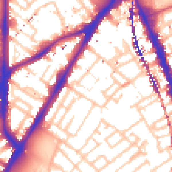
Daytime· 07:00 – 23:00
57.0dB

Night-time· 23:00 – 07:00
47.3dB