3 Fishermans Drive, Southwark, London, SE16 6SG
About 3 Fishermans Drive
3 Fishermans Drive is a three-bedroom mid-terrace house in Southwark, London, London (SE16 6SG). It has a recorded floor area of 84 m² (around 904 sq ft), construction records dating it to 1983-1990 and council tax band D. The latest certificate (March 2024) shows a C (score 75), near the top of the C band. The rating has held steady at C across 2 certificates since November 2013. Between certificates, lighting went from Average to Very Good. The recommended improvements would push it to B (score 87). Other recorded features include a basement.
Untraded for 24 years, with the last transfer in June 2002. Today's modelled estimate of £771,000 sits 267.1% above the 2002 sale of £210,000. On a £-per-square-foot basis, the last sale (£232/sq ft) was about 21.4% below the postcode norm. One planning record on file: a loft conversion approved in 2006. Past consents include a loft conversion, meaningful when judging how the property has evolved.
Know exactly what you're buying at 3 Fishermans Drive
Before you offer, see what the listing won't tell you, the true value, the red flags and the full history.
Already flagged here
Launch offer · save £5
Valuation
against the asking price
Risks
planning & flood
Sold prices
similar homes nearby
Trends
the local market
What this property has
Inside
- Bedrooms3
- Bathrooms2
- Dining roomYes
- EnsuiteYes
- BasementYes
Outside
- Private gardenYes
Building
- RefurbishedYes
Energy performance
EPC Rating
Property Improvements
Changes detected from historical EPC data
More low energy lighting installed
Planning history
- May 2006Loft ConversionFullIn report
Erection of rear dormer and installation of two velux windows to front elevation of dwellinghouse.
- Agent
- Loft Life Room Conversions
- Reference
- 06/AP/0547
We flagged 1 thing worth checking at 3 Fishermans Drive
Independent checks surfaced things a buyer would want to understand before offering. The report explains each one in full, with the underlying data and what to ask.
- Larger development activity nearby
30-day money-back guarantee
Sales history & valuation
3 Fishermans Drive's estimated value is more than triple its earliest registered sale price (2002).
£771,000
Modelled from EPC, postcode comparables.
£210,000
Recorded with HM Land Registry.
Sales timeline
4 June 2002Most recent
£210,000
Median price across the last 5 sales in SE16 6SG: £750,000 (2024–2015).
Nearby sales in SE16 6SG
1 Fishermans Drive, Southwark, London, SE16 6SG
Sold Mar 2024
£780,00023 Fishermans Drive, Southwark, London, SE16 6SG
Sold Jul 2019
£750,00015 Fishermans Drive, Southwark, London, SE16 6SG
Sold Jul 2017
£820,5009 Fishermans Drive, Southwark, London, SE16 6SG
Sold Sept 2015
£595,00027 Fishermans Drive, Southwark, London, SE16 6SG
Sold Feb 2014
£450,000
Everything we know about 3 Fishermans Drive, in one report
What it's really worth, what could be wrong, and the planning, sales and area data in full.
What we flagged
- Larger development activity nearby

Versus other Fishermans Drive homes
On price per m², 3 Fishermans Drive runs well behind the street norm.
Price per m²
£2,500
Street avg £7,068
Floor Area
84 m²
Street avg 93 m²
Habitable Rooms
4 rooms
Street avg 4 rooms
CO₂ Emissions
2.1 t/year
Street avg 2.5 t/year
Similar properties nearby
1 Garter Way, Southwark
SE16 6XA
1 Fishermans Drive, Southwark
SE16 6SG
1 Foundry Close, Southwark
SE16 6NS
1 Globe Pond Road, Southwark
SE16 6NQ
1 Drake Close, Southwark
SE16 6RS
1 Hull Close, Southwark
SE16 6BY
1 Hurley Crescent, Southwark
SE16 6AL
1 Dock Hill Avenue, Southwark
SE16 6AQ
The neighbourhood at a glance
Rail-style transport is unusually close for this postcode.
Crime
5/mo
Rising year-on-year across the wider district.
Nearest stop
0.4 km
Canada Street — bus stop.
Closest school
0.1 km
St John's Roman Catholic Primary School. 102 schools nearby.
Go deeper on the local area
The full report breaks down crime, transport links, schools and air quality in depth.
Road noise across the postcode
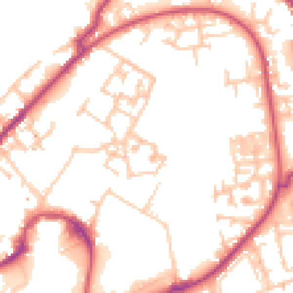
Daytime· 07:00 – 23:00
52.6dB

Night-time· 23:00 – 07:00
41.5dB