8 Pedworth Gardens, Southwark, London, SE16 2DX
About 8 Pedworth Gardens
8 Pedworth Gardens is a mid-terrace house in Southwark, London, London (SE16 2DX). It has a recorded floor area of 83 m² (around 893 sq ft), construction records dating it to 1967-1975 and council tax band D. At 83 m² this is the 18th smallest of 24 units on EPC record in the building, where floor areas span 41–110 m². The building's EPC ratings span D to C, with this unit at the bottom. The latest certificate (December 2013) shows a D (score 63), on the cusp of jumping into the C band. The recommended improvements would push it to C (score 77). The latest certificate is from December 2013, so improvements made since then won't be reflected.
At 83 m² the property is well over the postcode median (52 m² across 23 EPCs), placing it in the larger end of the local stock.
Know exactly what you're buying at 8 Pedworth Gardens
Before you offer, see what the listing won't tell you, the true value, the red flags and the full history.
Already flagged here
Launch offer · save £5
Valuation
against the asking price
Risks
planning & flood
Sold prices
similar homes nearby
Trends
the local market
Energy performance
8 Pedworth Gardens's EPC is over a decade old — improvements since won't be reflected.
EPC Expired
This certificate is over 10 years old and is no longer valid.Expired 22 Dec 2023
EPC Rating
Planning history
8 Pedworth Gardens has no planning applications on record.
Notable planning nearby
8applications of note in the surrounding area
We flagged 2 things worth checking at 8 Pedworth Gardens
Independent checks surfaced things a buyer would want to understand before offering. The report explains each one in full, with the underlying data and what to ask.
- Signs of HMO activity in the area
- Larger development activity nearby
30-day money-back guarantee
Sales history & valuation
8 Pedworth Gardens has no Land Registry sales on file, suggesting it has stayed in the same hands since registration began.
£378,000
Modelled from EPC, postcode comparables.
No sales recorded with HM Land Registry
That can mean the property has never traded since the registry began publishing in 1995, was a new build that hasn't been registered yet, or is held in the same hands long-term.
Median price across the last 5 sales in SE16 2DX: £430,000 (2025–2016).
Nearby sales in SE16 2DX
10 Pedworth Gardens, Southwark, London, SE16 2DX
Sold Aug 2025
£640,00022 Pedworth Gardens, Southwark, London, SE16 2DX
Sold Mar 2022
£282,5003 Pedworth Gardens, Southwark, London, SE16 2DX
Sold Jan 2019
£430,00027 Pedworth Gardens, Southwark, London, SE16 2DX
Sold Dec 2016
£320,0006 Pedworth Gardens, Southwark, London, SE16 2DX
Sold Jul 2013
£291,000
Everything we know about 8 Pedworth Gardens, in one report
What it's really worth, what could be wrong, and the planning, sales and area data in full.
What we flagged
- Signs of HMO activity in the area
- Larger development activity nearby

Versus other Pedworth Gardens homes
EPC Rating for 8 Pedworth Gardens lags the street by a wide margin.
EPC Rating
63 (D)
Street avg 68 (D)
Floor Area
83 m²
Street avg 53 m²
CO₂ Emissions
3.7 t/year
Street avg 2.4 t/year
Habitable Rooms
3 rooms
Street avg 2 rooms
Similar properties nearby
1 Canute Gardens, Southwark
SE16 2PN
1 Millender Walk, Southwark
SE16 2BL
1 Mossington Gardens, Southwark
SE16 2DZ
1 Holly Tree Apartments, Layard Road, Southwark
SE16 2JQ
1 Fenner Close, Southwark
SE16 2HN
1 Helen Peele Cottages, Lower Road, Southwark
SE16 2TT
1 Alpine Road, Lewisham
SE16 2RP
1 China Hall Mews, Southwark
SE16 2XN
The neighbourhood at a glance
Rail-style transport is unusually close for this postcode.
Crime
5/mo
Rising year-on-year across the wider district.
Nearest stop
0.1 km
Corbetts Lane — bus stop.
Closest school
0.3 km
Galleywall Primary, City of London Academy. 92 schools nearby.
Go deeper on the local area
The full report breaks down crime, transport links, schools and air quality in depth.
Road noise across the postcode
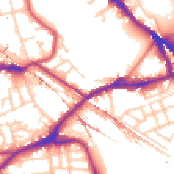
Daytime· 07:00 – 23:00
54.8dB

Night-time· 23:00 – 07:00
45.6dB